
Park Closure
Park Headquarters Road is closed
Park Headquarters Road is closed due to rehabilitation work on the Sugarlands water and wastewater systems.
Information
Cades Cove Loop Road is closed to motor vehicles every Wednesday
Cades Cove Loop Road is closed to motor vehicles every Wednesday through September 30. This allows pedestrians and cyclists to enjoy the cove without the presence of vehicles on the roadway.
More infoPark Closure
Straight Fork and the one-way section of Balsam Mountain Road closed.
Straight Fork and the one-way section of Balsam Mountain Road (Heintooga Round-Bottom Road) are closed.
More infoInformation
Most visitors need a parking tag
All vehicles parking for longer than 15 minutes require a parking tag. Three tag durations are available for purchase for all vehicle sizes and types: Daily ($5), Weekly ($15), or Annual ($40).
More infoGreat Smoky Mountains National Park
NC · TN · Gatlinburg
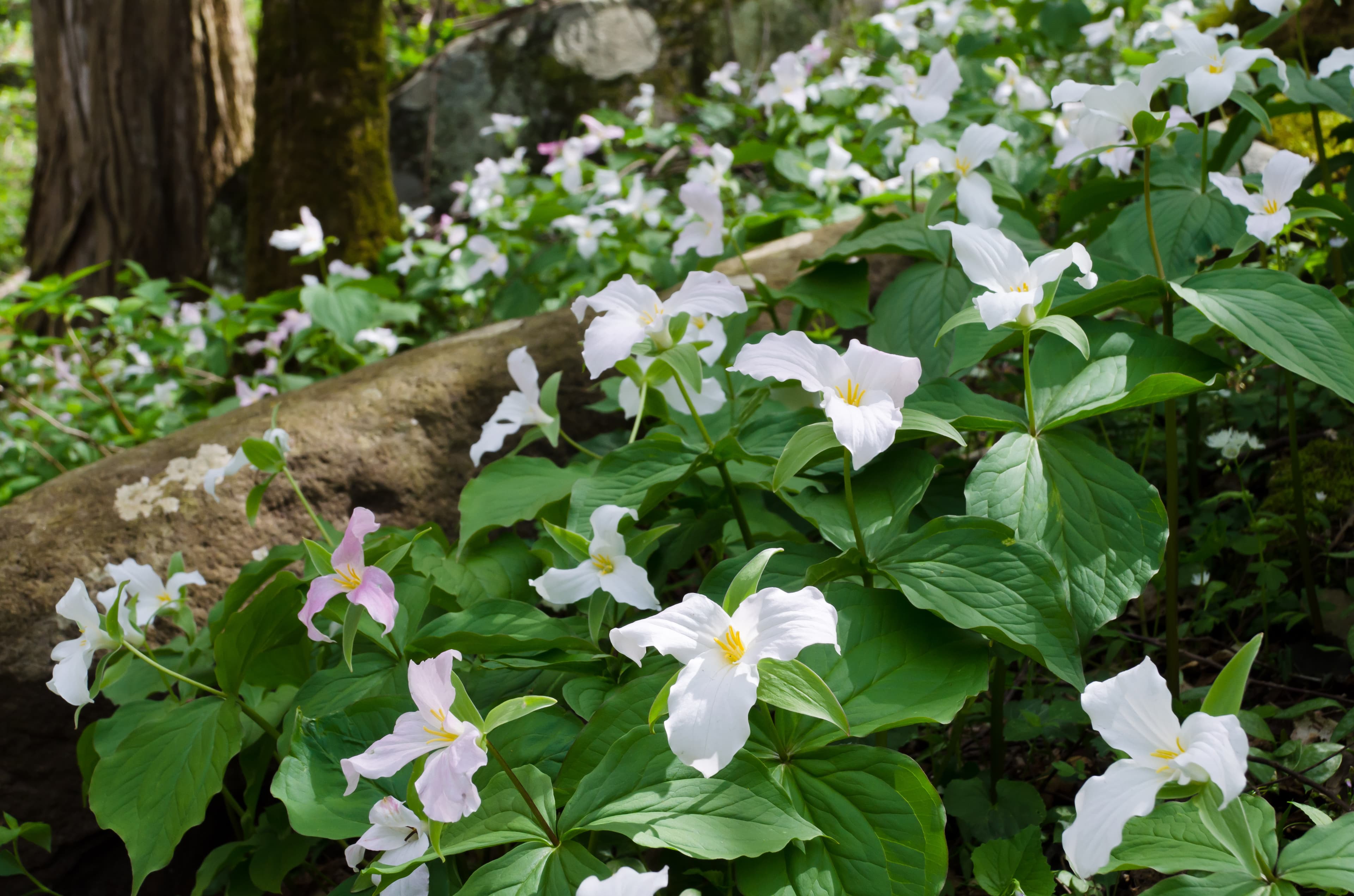
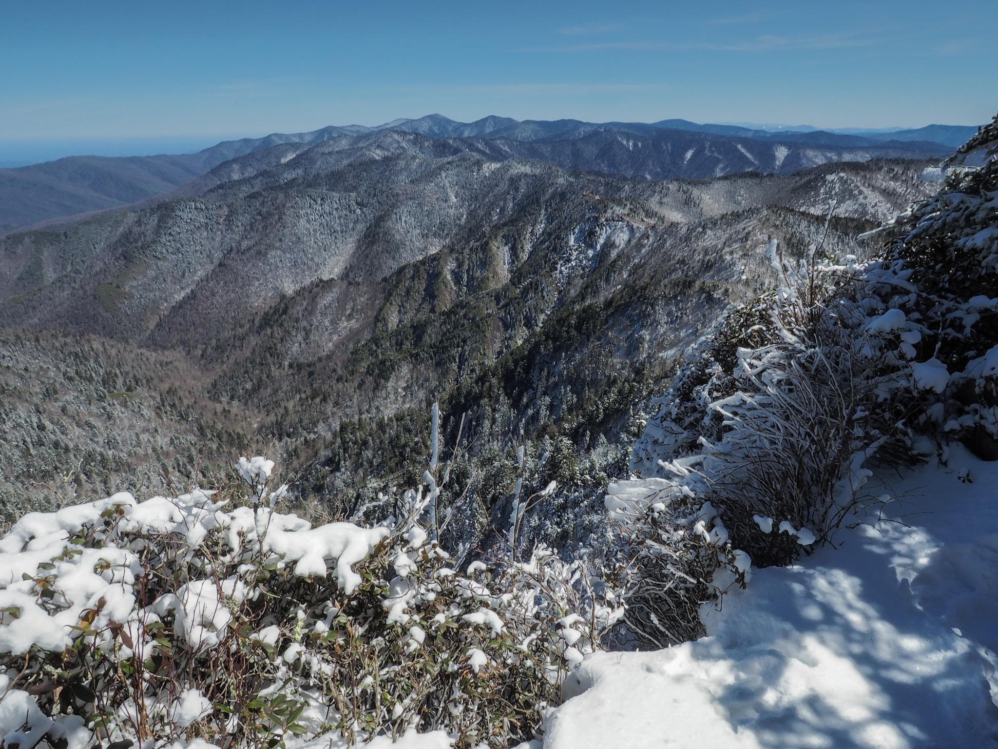
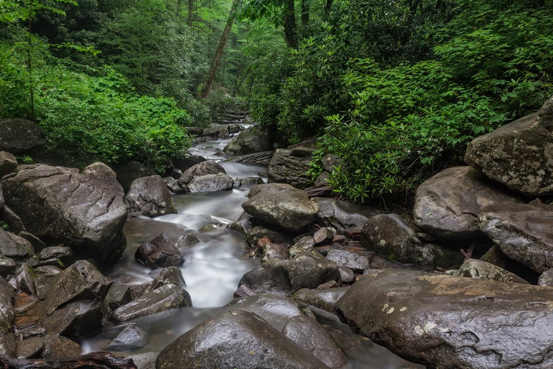
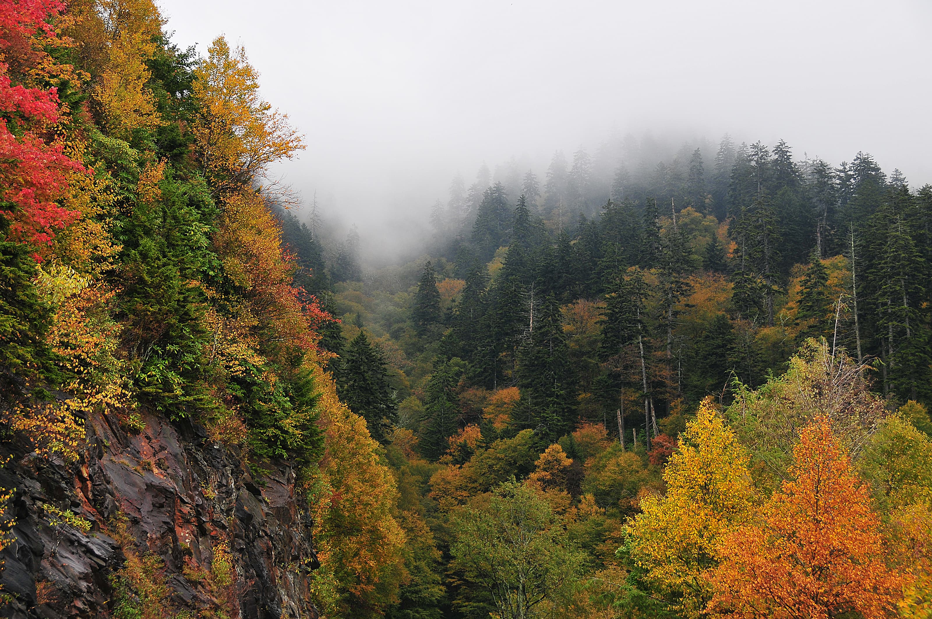
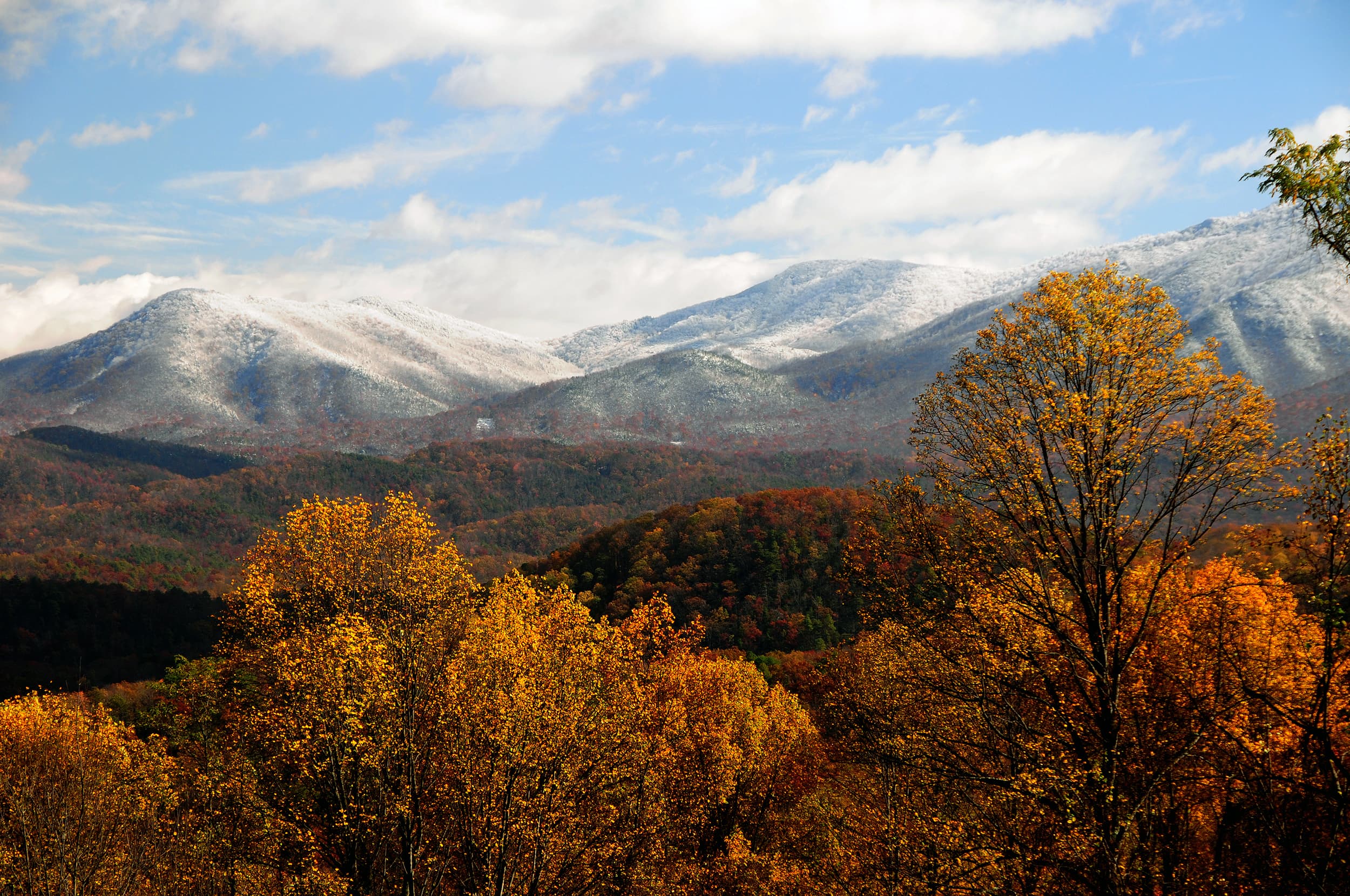
Ridge upon ridge of forest straddles the border between North Carolina and Tennessee in Great Smoky Mountains National Park. World renowned for its diversity of plant and animal life, the beauty of its ancient mountains, and the quality of its remnants of Southern Appalachian mountain culture, this is America's most visited national park. Plan your visit today!
Riding guide
Horses provided
Highlights
Great Smoky Mountains National Park offers one of the most accessible and diverse riding experiences in the eastern…
Riding
Rideable terrain here is noted as 550 miles, giving riders a clearer sense of scale before they ever unload. Riders can explore shaded woodland paths, creek crossings, and rolling terrain well suited for day rides and longer backcountry adventures. Developed horse camps within the park provide structured staging areas, making this one of the more horse-friendly national parks in the East.
Rideable terrain
550 miles
Trailer parking
Big Creek Horse Camp (North Carolina) This is one of the most developed equestrian areas in the park. Why riders prefer it • Large trailer parking areas • Hitch rails and horse-friendly facilities • Direct access to multiple horse trails • Horse campsites available nearby This location provides access to scenic forest riding and creek crossings. Cataloochee Horse Camp (North Carolina) Another very popular equestrian staging area. Features • Large parking area designed for horse trailers • Horse campsites with hitching posts • Direct access to a large trail network • Known for elk sightings in nearby meadows This is one of the most scenic horse camp locations in the Smokies. Round Bottom Horse Camp (North Carolina) A smaller but well-known horse camp. Features • Trailer parking near campsites • Immediate access to designated horse trails • Quiet setting along river corridors Other Horse-Friendly Trailheads Several additional trailheads can accommodate trailers depending on rig size and time of year. Examples include • Anthony Creek Trailhead (near Cades Cove) • Cosby Campground horse access areas However, these locations may have less maneuvering room than the dedicated horse camps.
Horse regulations
Designated Trails Only Horses, mules, and other stock animals are permitted on trails specifically designated for horse use within the park. Off-trail or cross-country riding is not allowed. There are about 550 Miles of horse-friendly trails in the park; these are shown as dotted routes on the official park trail map you can pick up at visitor centers or download. Horse Camps & Backcountry Camping Five auto-accessible horse camps provide staging for stock riders and access to backcountry horse trails: • Anthony Creek (Cades Cove) • Big Creek • Cataloochee • Round Bottom • Tow String These camps are typically open from April through October with reservations required. Backcountry camping with horses requires a backcountry camping permit and reservations for those sites. Trail Etiquette & Safety • Stay on designated horse trails and single file. • When crossing roads or paved sections, dismount and lead your horse. • Pack out what you pack in; leave no trace. • Keep horses away from springs; use a collapsible bucket for watering. • Avoid disturbing wildlife and maintain distance. Stock Group Limits & Control National park regulations also address pack-animal group size and control; horses must be under control and users should follow posted signage and park rules.
Getting here
Use 107 Park Headquarters Road, Gatlinburg, Tennessee as your primary planning reference before you haul in. Big Creek Horse Camp (North Carolina) This is one of the most developed equestrian areas in the park. Why riders prefer it • Large trailer parking areas • Hitch rails and horse-friendly facilities • Direct access to multiple horse trails • Horse campsites available nearby This location provides access to scenic forest riding and creek crossings. Cataloochee Horse Camp (North Carolina) Another very popular equestrian staging area. Features • Large parking area designed for horse trailers • Horse campsites with hitching posts • Direct access to a large trail network • Known for elk sightings in nearby meadows This is one of the most scenic horse camp locations in the Smokies. Round Bottom Horse Camp (North Carolina) A smaller but well-known horse camp. Features • Trailer parking near campsites • Immediate access to designated horse trails • Quiet setting along river corridors Other Horse-Friendly Trailheads Several additional trailheads can accommodate trailers depending on rig size and time of year. Examples include • Anthony Creek Trailhead (near Cades Cove) • Cosby Campground horse access areas However, these locations may have less maneuvering room than the dedicated horse camps.
Planning your visit
Drive-in Horse Camps Five drive-in horse camps provide ready access to backcountry trails within the park. These horse camps have picnic tables, fire rings, designated parking spaces (usually gravel), refuse containers, and tent pads. Four horse hitch racks are located at each site in Anthony Creek and Cataloochee; other camps have central hitch racks. Big Creek has flush toilets with cold water. Anthony Creek and Catalooche have vault toilets; Round Bottom and Tow String have portable toilets. There is no drinking water except at Big Creek. Water is available for horses, either in the campground or at a nearby stream. • Trails are often rocky, root-covered, and prone to mud after rain. Good hoof protection and steady footing are important. • Water crossings are common. Horses should not be allowed to linger in springs; use a bucket where required. • Black bears are present throughout the park. Store feed securely and maintain clean camps. • Fall foliage season and weekends can bring heavy trail traffic. Expect to share routes with hikers and other equestrians. • Weather changes quickly in the mountains. Afternoon storms are common in summer, and fog can reduce visibility along ridgelines.
Where to stay
Park Headquarters is the main visitor-contact point tied to this destination, which is helpful when you want current conditions, maps, and stock-use updates before riding. This entry indicates both guided ride support and horse-camping potential, making Great Smoky Mountains National Park one of the more flexible federal options for riders building a fuller travel plan. For a polished trip plan, pair the ride with lodging, fuel, and resupply planning in or near Gatlinburg before heading deeper into federal-land access points.
Park map
Trails
No trails synced for this park yet.
Campgrounds
Abrams Creek Campground
16 sites
Abrams Creek Campground is located beside beautiful Abrams Creek in a remote and secluded setting. With an elevation of 1,125 feet (343 m), the climate is moderate, characterized by mild winters and hot, humid summers. Flush toilets and drinking water are available. No hookups or showers are available at the campground.
Reserve a siteBalsam Mountain Campground
43 sites
Balsam Mountain Campground is surrounded by mountain ranges and streams. With an elevation of 5,310 feet (1,618 m), summer daytime temperatures rarely exceed 70°F (~21°C) and lows may dip to 50°F (10°C). RV and tent sites plus flush toilets and drinking water are available. No hookups or showers are available at the campground and the restrooms do not have lights.
Big Creek Campground
12 sites
Big Creek Campground is located beside the beautiful Big Creek in a remote and secluded setting. With an elevation of 1,700 feet (518 m), the climate is moderate, characterized by mild winters and hot, humid summers. Tent-only camping, flush toilets, and drinking water available. No hookups or showers are available at the campground.
Reserve a siteCades Cove Campground
161 sites
Cades Cove Campground—open year-round—combines the feel of primitive camping with the modern convenience of flush toilets and drinking water. With an elevation of 1,807 feet (551 m), the climate is moderate, characterized by mild winters and hot, humid summers. No hookups or showers. America the Beautiful passes (not accepted in lieu of the parking tag for parking outside your campsite) are sold at the campground ranger station in summer & fall or online through the USGS store.
Reserve a siteCades Cove Group Campground
3 sites
Cades Cove combines the feel of primitive camping with the modern convenience of flush toilets and drinking water. A camp store provides visitors with basic necessities and bike rentals. Events like interpretive programs in the nearby amphitheater and bicycle-only days on the Cades Cove Loop Road provide visitors with a fun and unique experience.
Reserve a siteCataloochee Campground
27 sites · 7 horse-friendly
Cataloochee Campground is located in the historic Cataloochee Valley surrounded by mountain ranges and pristine streams. With an elevation of 2,610 feet (796 m), it is characterized by mild winters and hot, humid summers. It offers traditional camping with the convenience of flush toilets and drinking water. No hookups or showers are available in the campground.
Reserve a siteCosby Campground
157 sites
Cosby Campground is tucked in the mountains under a canopy of shade. With an elevation of 2,459 feet (750 m), Cosby provides a moderate climate, characterized by mild winters and hot, humid summers. Campsites for both tents and RVs, flush toilets, and drinking water are available. No hookups or showers are available at the campground.
Reserve a siteDeep Creek Campground
92 sites
Deep Creek Campground is located next to one of the park's most popular creeks. With an elevation of 1,800 feet (549 m), the climate is characterized by mild winters and hot, humid summers. Whether blanketed in bright spring wildflowers or vivid fall colors, the scenery at Deep Creek never disappoints. Hookups and showers are not provided, but flush toilets and drinking water are available.
Reserve a siteElkmont Campground
211 sites
Elkmont Campground is the closest family campground to Sugarlands Visitor Center in the North District of the park. At 2,150 feet (655 m), winters are mild and summers are hot and humid. Tent and RV campsites, flush toilets, and drinking water are available. No hookups or showers. America the Beautiful passes (not accepted in lieu of the parking tag for parking outside your campsite) are sold at the campground ranger station in summer & fall or online through the USGS store.
Reserve a siteElkmont Group Campground
4 sites
These sites offers an ideal setting for group camping excursions and outdoor enthusiasts of all kinds.
Reserve a siteLook Rock Campground
68 sites
Look Rock Campground is located along the beautiful Foothills Parkway West between Walland, Tennessee and Chilhowee Lake. With an elevation of 2,600 feet (792 m), the climate is characterized by mild winters and hot, humid summers. Flush toilets and drinking water are available. Ten of the sites offer electric and water hookups. No shower facilities are located in the campground.
Reserve a siteSmokemont Campground
142 sites
Smokemont Campground—open year-round—is the closest family campground to Oconaluftee Visitor Center in the South District of the park. At 2,198 feet (670 m), winters are mild and summers are hot and humid. Tent and RV campsites, flush toilets, and drinking water are available. No hookups or showers. America the Beautiful passes (not accepted in lieu of the parking tag for parking outside your campsite) are sold at the campground ranger station in summer & fall or online through the USGS store.
Reserve a siteSmokemont Group Campground
3 sites
Smokemont Group Campground—open May 9–October 31, 2025—is the closest family campground to Oconaluftee Visitor Center in the South District of the park. At 2,198 feet (670 m), winters are mild and summers are hot and humid. Tent and RV campsites, flush toilets, and drinking water are available. No hookups or showers. America the Beautiful passes (not accepted in lieu of the parking tag for parking outside your campsite) are sold at the campground ranger station in summer & fall or online at the USGS store.
Reserve a site
Points of interest
Abrams Falls
POIA 25-foot (7.6 m) waterfall where Abrams Creek plunges over a rock ledge into a deep, picturesque pool.
Albright Grove
POIA short loop trail that winds through a quiet grove of old-growth forest
Alum Cave Bluffs
POIA dramatic rocky overhang along Alum Cave Trail.
Andrews Bald
POIA grassy mountaintop meadow known for its scenic views and unique ecology.
Appalachian Clubhouse
POIA large restored clubhouse rebuilt in 1934 and now available for daytime rental.
Arch Rock
POIA natural rock formation that stretches over a set of winding stone steps along Alum Cave Trail.
Beech Grove School
POIA historic two-room schoolhouse built in 1901.
Big Creek Picnic Area
POIBig Creek Picnic Area is one of ten designated picnic areas in Great Smoky Mountains National Park. Located in the northeast section of the park, it offers ten sites in a secluded area.
Cabins and Daily Life
POICable Mill Historic Area
POILocated next to the Cades Cove Visitor Center, the Cable Mill area contains many of the buildings typical of remote Appalachian communities.
Cades Cove Overlook
POICades Cove Picnic Area
POIA leafy 81-site daytime recreational area with tables, charcoal grills, restrooms, and a nearby camp store.
Cades Cove Riding Stables
POIA concession stable offering horseback-riding trips and rides through forests and meadows of Cades Cove.
Caldwell Place
POIA historic barn, springhouse, and two-story framehouse completed by Hiram Caldwell in 1906.
Carlos Campbell Overlook
POIA scenic overlook with rolling mountain views and visible regrowth after the 2016 wildfires.
Carter Shields Cabin
POIThe Carter Shields cabin is the last historic structure visitors come across on the 11-mile Cades Cove driving loop.
Cataract Falls
POIA narrow 40-foot (12.2 m) cascade where Cataract Branch meets Fighting Creek.
CCC Stone Bridge
POICharlies Bunion
POIA unique rocky outcrop surrounded by steep cliffs along the Appalachian Trail.
Chasteen Creek Cascade
POIA peaceful cascade that slides 15 feet (4.6 m) down smoothly worn sandstone.
Chimneys Picnic Area
POIChimneys Picnic Area is one of ten designated picnic areas in Great Smoky Mountains National Park. Located in the northern part of the park along Newfound Gap Road, this picnic area is heavily forested and near water.
Collins Creek Picnic Area
POICollins Creek Picnic Area is one of ten picnic areas in Great Smoky Mountains National Park. Located along Newfound Gap Road, it offers 182 shaded sites and a pavilion available by reservaiton.
Cosby Picnic Area
POIA shady 35-site daytime recreational area with tables and charcoal grills near Cosby Creek.
Daisy Town
POIA row of preserved vacation homes built between 1910 and 1935 on the former site of a logging camp.
Daisy Town: The Birth of Tourism in the Smokies
POIDan Lawson Place
POIDan Lawson Place is a group of historic structures about 7 miles into the 11-mile Cades Cove driving loop just past the intersection with Hyatt Lane.
Deep Creek Picnic Area
POIA shady 58-site daytime recreational area with tables, charcoal grills, and a pavilion along Deep Creek.
Deep Creek Valley Overlook
POIA great spot to be above the clouds. Possibly see an inversion where the clouds sink into the valleys in the early mornings.
Elijah Oliver Place
POIThe Elijah Oliver place is a farmstead made up of multiple nineteenth century buildings in the west end of the loop. It is a 0.5 mile (0.8 km) walk from Cades Cove Loop Road.
Fontana Dam
POIA large hydroelectric dam completed in 1945 with a visitor center operated by the Tennessee Valley Authority.
Foothills Parkway
POICongress authorized the Foothills Parkway as a scenic parkway on February 22, 1944. Though funding and engineering challenges have delayed the completion of the project, the open sections of the Foothills Parkway provide a beautiful driving experience for visitors.
Greenbrier Picnic Area
POIA shady daytime recreational area with tables and charcoal grills along the Little Pigeon River.
Gregory Bald
POIA grassy mountaintop meadow with panoramic views known for its azalea blooms in midsummer.
Grotto Falls
POIA unique 25-foot (7.6 m) waterfall that you can walk behind on Trillium Gap Trail.
Heintooga Picnic Area
POIA 41-site daytime recreational area with tables, charcoal grills, and nearby trails at high elevation.
Hen Wallow Falls
POIA 90-foot (27 m) waterfall that begins as a small stream but fans out to a width of 30 feet (9 m) at its base.
Indian Creek Falls
POIA 25-foot (7.6 m) cascade that tumbles down sloping sandstone into a large plunge pool.
John Oliver Place
POIThe John Oliver cabin is the first historic structure visitors come across on the 11-mile Cades Cove driving loop.
John Ownby Cabin
POIA historic log cabin built in the 1860s by John Ownby.
Juney Whank Falls
POIAn 80-foot (24.4 m) cascade of small streams that converge as they flow under a log footbridge.
Kuwohi Observation Tower
POIKuwohi Observation Tower provides a breathtaking view of the surrounding Smoky Mountains National Park. The Tower also has a story to tell - it was architecturally significant within the history of the National Park Service and a model for other towers that were built across the NPS.
Lakeview Drive Tunnel
POIA 1,200-foot (366 m) tunnel at the end of Lakeview Drive that is permanently closed to motorized traffic but serves as a gateway to hiking trails, remote campsites, and more just north of Fontana Lake.
Laurel Falls
POIA 25-foot (7.6 m) waterfall where Abrams Creek plunges over a rock ledge into a deep, picturesque pool.
LeConte Lodge
POIA historic mountaintop lodge offering rustic overnight lodging and meals for hikers.
Little Greenbrier Schoolhouse
POIA historic one-room schoolhouse built in 1881 for the Little Greenbrier community.
Look Rock Picnic Area
POIA 51-site daytime recreational area with tables and charcoal grills near the scenic Foothills Parkway.
Lynn Camp Prong Cascades
POIA series of rushing cascades and plunge pools along Middle Prong Trail.
Meigs Falls
POIAdmire a gorgeous waterfall from the comfort of your vehicle. Located along Little River Road, Meigs Falls features a spacious pull-out area for easy viewing. This makes it one of the most accessible waterfalls in the park.
Metcalf Bottoms Picnic Area
POIA 122-site daytime recreational area with tables and charcoal grills on the banks of the Little River.
Methodist Church
POICades Cove Methodist Church is the 5th stop on the scenic loop drive. The church is on the right side of the road and is past the turn off for the Primitive Baptist Church.
Mingus Mill
POIA historic 19th-century gristmill with a functioning water-powered turbine and regular historical demonstrations.
Missionary Baptist Church
POIThe Missionary Baptist Church is on the entrance side of the loop past Hyatt Lane and across from Rich Mountain Road.
Mountain Farm Museum
POIThe Mountain Farm Museum is a unique collection of historic farm buildings that showcases what life was like in a typical rural Appalachian community over a century ago.
Mouse Creek Falls
POIA scenic 41-foot (12.5 m) waterfall that cascades into Big Creek.
Newfound Gap Overlook
POIA scenic high-elevation overlook with panoramic mountain views and a large parking area.
Old Town of Elkmont
POIPlace of a Thousand Drips
POIDuring times of heavy rain, numerous little cascades make up this waterfall located along Roaring Fork Motor Nature Trail.
Primitive Baptist Church
POIPrimitive Baptist Church built in 1887 is the second stop along the Cades Cove Loop after the John Oliver cabin.
Smoky Jack - Dogs of the NPS
POIIn 1925, Paul Adams became the caretaker of Mount Le Conte, accompanied by his loyal German Shepherd, Smoky Jack. The adventurous duo braved the Smokies together, with Smoky Jack carrying supplies, protecting Paul from danger, and even saving his life multiple times.
Spence Cabin
POIThis large cottage was built in 1928 as a vacation home for Alice Townsend, wife of Colonel Townsend, who owned both the Little River Lumber Company and the Little River Railroad.
The Sinks
POIA short but rushing cascade, the Sinks is a gushing waterfall located along Little River Road with an interesting history.
The Train "Wye"
POITipton Place
POITipton Place is located on the exit side of the loop between Dan Lawson Place and Carter Shields Cabin.
Twentymile Cascade
POIA 22-foot (6.7-m) cascade down a long series of mossy sandstone ledges.
Twin Creeks Picnic Pavilion
POITwin Creeks Picnic Pavilion is the largest in the park, surrounded by scenic forest. Located in a secluded section of the Smokies near Gatlinburg, this pavilion is a popular place for group trips.
Whitehead Place
POIThe Henry Whitehead place is located 0.75 miles down Forge Creek Road. The entrance for Forge Creek Road is just past the exit of the Cades Cove Visitor Center/Cable Mill Historic Area parking lot.
Why Preserve Daisy Town?
POI
Things to do
Drive Foothills Parkway (Chilhowee to Walland)
Drive 16.6 miles (26.7 km) one-way on Foothills Parkway from Chilhowee to Walland.
Drive Foothills Parkway (Cosby to I-40)
Drive 5.6 miles (9.01 km) one-way on Foothills Parkway from Cosby to I-40.
Drive Foothills Parkway (Walland to Wears Valley)
Drive 14.75 miles (23.74 km) one-way on Foothills Parkway from Walland to Wears Valley.
Drive Lakeview Drive
Drive 11.4 miles (18.3 km) roundtrip on Lakeview Drive.
Hike Bradley Fork Trail
The Bradley Fork Trail offers a scenic and diverse outdoor experience, featuring picturesque creeks, seasonal wildflowers, fishing access, horseback riding opportunities, and backcountry camping.
Hike Cooper Road Trail
Hike 10.9 miles (17.5 km) one-way on Cooper Road Trail.
Hike Cove Hardwood Trail
Hike 0.75 miles (1.2 km) roundtrip on Cove Hardwood Trail to explore a forest of giants and wind through a lush mountainside.
Hike Deep Creek Trail to Indian Creek Falls
Hike 1.6 miles (2.6 km) roundtrip along Deep Creek, which features views of two waterfalls, Tom Branch Falls and Indian Creek Falls.
Hike Goldmine Loop via Tunnel Bypass Trail
Hike 4 miles (6.4 km) on Lakeshore and Goldmine Loop trails through a hardwood forest filled with signs of old homesites and farms. This trail is moderate but includes some rocky areas and shallow stream crossings.
Hike Kephart Prong Trail to Historic CCC Camp
Follow the flow of mountain streams 4 miles (6.4 km) roundtrip through hardwood forest and across several log footbridges to the remains of a CCC camp and the Kephart Shelter.
Hike Little River Trail
Once a railroad bed, the Little River Trail now offers a peaceful hike through the Elkmont area of Great Smoky Mountains National Park. As you follow the river’s gentle flow, you’ll pass remnants of the old Elkmont community—stone chimneys and foundations quietly tucked into the forest.
Hike on Chestnut Top Trail
Hike 5.6 miles (9 km) roundtrip on a trail that climbs steadily through mixed hardwood forest to a ridgetop where American chestnut trees were once abundant. Fall leaf color and plentiful spring wildflowers remain a draw on this trail.
Hike Porters Creek Trail
Porters Creek is a peaceful trail that is filled with history and natural wonders, hike as far as you'd like to explore. If you are up for about a 4-mile roundtrip hike you can visit the beautiful Fern Branch Falls.
Duration: 1-3 Hours
Hike Schoolhouse Gap Trail
Hike 4.4 miles (7.1 km) roundtrip on Schoolhouse Gap Trail which offers a peaceful walk with a touch of history and a chance to spot seasonal blooms and wildlife.
Hike Smokemont Nature Trail
Hike 0.62-mile (1 km) roundtrip on Smokemont Nature Trail which provides a peaceful escape and views of the surrounding peaks.
Hike the Deep Creek Waterfalls Loop
See three waterfalls on a loop around the Deep Creek area. Hike 2.4 miles (3.9 km) on several short trail segments to reach Juney Whank Falls, Indian Creek Falls, and Tom Branch Falls.
Hike the Gatlinburg Trail
Enjoy a riverside stroll approximately 4 miles (6.4 km) roundtrip through a cove hardwood forest along one of the only dog- and bike-friendly trails in the park. This trail includes sections of sidewalks and roadsides as well as graded dirt path.
Hike the Little River, Cucumber Gap, Jakes Creek Loop
Hike 5.4 miles (8.7 km) on a pleasant and shady loop connecting three trails with streamside views, historic structures, and prolific spring wildflower displays. Trail conditions vary from paved road and graveled path to narrower and rockier sections with minor stream crossings.
Hike the Oconaluftee River Trail
Enjoy a riverside stroll approximately 3 miles (4.8 km) roundtrip on one of the only pet- and bike-friendly trails in the park. This popular trail is relatively flat, wide, and graveled and follows the Oconaluftee River through elk habitat and hardwood forest.
Hike to Abrams Falls
Walk 5 miles (8 km) roundtrip through rhododendron, hemlock, and pine-oak forest to a 25-foot (7.6-m) waterfall and scenic pool. Swimming in the pool is not recommended due to slippery rocks and a dangerous undertow.
Hike to Alum Cave Bluffs
Hike 4.6 miles (7.4 km) roundtrip to see the Alum Cave Bluffs and stroll through Arch Rock on this popular hike on Alum Cave Trail. The trail crosses two mountain streams via footbridges before it climbs through sections of old-growth forest.
Hike to Andrews Bald
Hike 3.6 miles (5.8 km) roundtrip descending through high-elevation, spruce-fir forest to a popular grassy bald known for its flowering azaleas in summer and views of the surrounding mountains. The return hike to the trailhead involves a relatively strenuous climb.
Hike to Charlies Bunion
Hike a popular section of the Appalachian Trail for 8 miles (12.9 km) roundtrip through spruce-fir forest to enjoy panoramic views and a unique rocky outcrop surrounded by exposed cliffs.
Hike to Chasteen Creek Cascade
Hike 3.6 miles (5.8 km) roundtrip through hardwood forest following the path of mountain streams to a peaceful cascade. This trail is wide, well-graded, and regularly used by both hikers and horse riders.
Hike to Chimney Tops Overlook
Hike 3.5 miles (5.6 km) roundtrip on this popular but challenging trail to enjoy views of surrounding mountains and the Chimney Tops pinnacles. This trail is steep and rocky at times, and includes bridges, stairs, and some lingering signs of 2016 wildfires.
Hike to Grotto Falls
Hike 2.6 miles (4.2 km) roundtrip on Trillium Gap Trail as it crosses multiple streams and sections of old-growth forest to reach a unique waterfall you can walk behind. This trail is well-traveled but prone to muddy and slippery conditions.
Hike to Hen Wallow Falls
Hike 4.3 miles (6.9 km) roundtrip through a hardwood forest with hemlock and rhododendron to a popular 90-foot (27-m) waterfall. This trail includes some steep sections and switchbacks.
Hike to Kuwohi
Walk one mile (1.6 km) roundtrip from the Kuwohi (formerly Clingmans Dome) parking area along a steep paved path to an iconic and popular observation tower with panoramic views from the highest peak in the Smokies.
Hike to Laurel Falls
Hike 2.6 miles (4.2 km) roundtrip through a mixed hardwood forest to an 80-foot (24-m) waterfall. Enjoy a few views of the mountain landscape before arriving at the waterfall. PLEASE NOTE: Laurel Falls Trail is expected to close starting in mid-December for 18 months.
Hike to Look Rock Tower
Walk along a short, paved trail 0.8 miles (1.3 km) through the forest to an observation tower with panoramic views of the Smokies and Blount County, Tennessee. This trail includes some mild to moderate inclines.
Hike to Lynn Camp Prong Cascades
Go on a woodland stroll following an old railroad bed along a mountain stream, 1.4 miles (2.3 km) roundtrip, to a dramatic cascade. The trail is mostly wide and flat and gently ascends through rhododendron and some cliff-like rock outcroppings.
Hike to Mount Le Conte on Alum Cave Trail
Hike 10 miles (16.1 km) roundtrip on Alum Cave Trail as it climbs steadily through dense forest to Alum Cave Bluffs and on to the summit of Mount LeConte. This popular but strenuous hike includes stairs, bridges, and some steep and rocky sections of trail.
Hike to Mount Le Conte on Bullhead Trail
One of five routes to Mount Le Conte, the Bullhead Trail offers consistent views. The strenuous hike is 13.6 miles (21.9 km) roundtrip. Near the beginning, visitors will see rocky cliffs and climb the Bullhead, a heath-covered bald that may resemble a bull's head from a distance.
Hike to Mount Le Conte on Rainbow Falls Trail
Hike 13 miles (21 km) roundtrip on one of five routes to Mount Le Conte that includes a waterfall, rocky ascents, and forest views. Lush forests line the trail and hikers will intersect the Bullhead Trail, Alum Cave Trail, and Trillium Gap Trail before reaching the summit.
Hike to Mount Le Conte on the Appalachian Trail and Boulevard Trail
The longest of the five routes to Mount Le Conte, this strenuous hike—16.2 miles (26.1 km) roundtrip—offers a variety of views and includes part of the Appalachian Trail. Charlies Bunion, a rocky outcrop, is a short but rewarding detour.
Hike to Mount Le Conte on Trillium Gap Trail
One of five routes to Mount Le Conte, Trillium Gap Trail to Mount Le Conte is 13 miles (20.9 km) roundtrip and rewards hikers with mountain views, diverse forest, and a waterfall. Near the summit, the best views are at Cliff Top and Myrtle Point, both marked with signs.
Hike to Rainbow Falls
Hike 5.6 miles (9 km) roundtrip through varied forest to a popular waterfall named for the misty rainbow that often appears at its base. This trail is well-traveled and maintained, but the climb to the falls is relatively steep.
Hike to Ramsey Cascades
Hike 8 miles (12.9 km) roundtrip on this popular but relatively challenging trail through cove hardwood forest to see the tallest waterfall in the park. The trail begins on an old roadbed but becomes narrower and rockier crossing multiple footlog bridges and streams as it ascends.
Hike to Steve Woody House
Walk 2 miles (3.2 km) roundtrip through a hardwood forest on a wide, well-graded path following a mountain stream to reach the historic Steve Woody Place, which was once the center of a sprawling homestead with several outbuildings.
Hike to the Little Greenbrier School and Walker Homesite
Hike 3.4 miles (5.5 km) roundtrip from Metcalf Bottoms Picnic Area through hardwood forest to see remnants of stonework, the historic one-room Little Greenbrier School, and the preserved homesite of the Walker family. This trail includes sections of well-packed dirt path and wide gravel roadbed.
Hike to Twentymile Cascade
Hike 1.2 miles (1.9 km) roundtrip along a wide gravel roadbed that follows a mountain stream to a cascade surrounded by moss-covered rocks and mixed hardwood forest.
Hike West Prong Trail
Hike 5.4 miles (8.7 km) roundtrip on West Prong Trail
Walk Cable Mill Area Trails
Visit the Cable Mill area for a glimpse into a traditional Appalachian farming community.
Walk Sugarlands Valley Nature Trail
Wander through a cove hardwood forest with streamside views, rock walls, and historic stone chimneys on this half-mile (0.8 km) loop along a paved, flat trail. The trailhead is adjacent to a small parking area with several accessible spaces along Newfound Gap Rd (US 441) near Sugarlands Visitor Center.
Walk to John Oliver Cabin
Explore the scenery of Cades Cove and the historic John Oliver Cabin and homesite with a short path—0.3 miles (0.5 km) roundtrip—suitable for wheelchairs and strollers. The trail gives way to level, packed gravel once it reaches the complex of log structures.
Visitor centers
Cades Cove Visitor Center
Roughly half-way through the Cades Cove Loop Road, pause to speak with park staff and visit various exhibits. Learn about Southern Mountain life and culture, and see a gristmill (operates spring through fall), the Becky Cable house, and other historic structures. Enjoy seasonal ranger-led activities and peruse the park bookstore and shop. Public restrooms available.
Get directionsKuwohi Visitor Center
Kuwohi (formerly Clingmans Dome) is the tallest peak in the Smokies. Enjoy sweeping views of the Smokies—weather permitting—and get your park questions answered. Peruse a small bookstore and shop. Public restrooms are available.
Get directionsOconaluftee Visitor Center
Near Cherokee, North Carolina, the Oconaluftee Visitor Center is an ideal starting point as you enter the park's South District. Explore cultural history exhibits. Enjoy ranger-led programs conducted seasonally. Peruse the park bookstore and shop. Find public restrooms and drink vending machines. The adjacent Mountain Farm Museum contains a collection of log structures including a farmhouse, barn, smokehouse, applehouse, corn crib and others.
Get directionsSugarlands Visitor Center
Near Gatlinburg, TN, Sugarlands Visitor Center is an excellent starting point as you enter the park's North District. Learn about the park's plants and animals with natural history exhibits. Enjoy ranger-led programs conducted seasonally. Peruse the park bookstore and shop. Access public restrooms and drink vending machines. The Backcountry Permit Office is here, too.
Get directions
Webcams
Kuwohi Webcam
Currently unavailable.
Look Rock Webcam
Currently unavailable.
Newfound Gap Webcam
Currently unavailable.
Purchase Knob Webcam
Currently unavailable.
Twin Creek Webcam
Currently unavailable.
Hours of operation
Great Smoky Mountains National Park
Primary roads are open 24 hours a day, seven days a week, year-round, weather permitting. This includes Newfound Gap Road (US-441), Little River Road, and Laurel Creek Road. Secondary roads are closed seasonally.
Mon
All Day
Tue
All Day
Wed
All Day
Thu
All Day
Fri
All Day
Sat
All Day
Sun
All Day
Activities
Weather
Elevations in the park range from approximately 875 feet (267 meters) to 6,643 feet (2,025 meters) and the topography can drastically affect local weather. Temperatures can vary by 10-20 degrees Fahrenheit from mountain base to top, and clear skies lower down do not guarantee equally pleasant weather at higher elevations.
Contact
Photos
Stay near this park
No horse-friendly stays listed near Great Smoky Mountains National Park yet. Know a great barn or property? Help fellow riders by listing it.
List your propertyDirections
Great Smoky Mountains National Park straddles the borders of the states of Tennessee and North Carolina. The three main entrances to the park are in Gatlinburg, TN; Townsend, TN; and Cherokee, NC.
Source: nps.gov