
Information
Annual Summer Closures and Restrictions in Effect
The 49 Palms trail along with some campgrounds, facilities, and areas have adjusted availability during the summer. For the full list of changes, please visit our Summer Closures page.
More infoCaution
Oasis of Mara Trail Partial Closure
Due to a heavy flooding event, the Oasis of Mara Trail is closed past the Oasis.
Caution
Inaccurate Third-Party Apps
Some third-party hiking apps are providing inaccurate trail and safety information to users. Please use the official NPS app for accurate information.
More infoJoshua Tree National Park
CA · Twentynine Palms
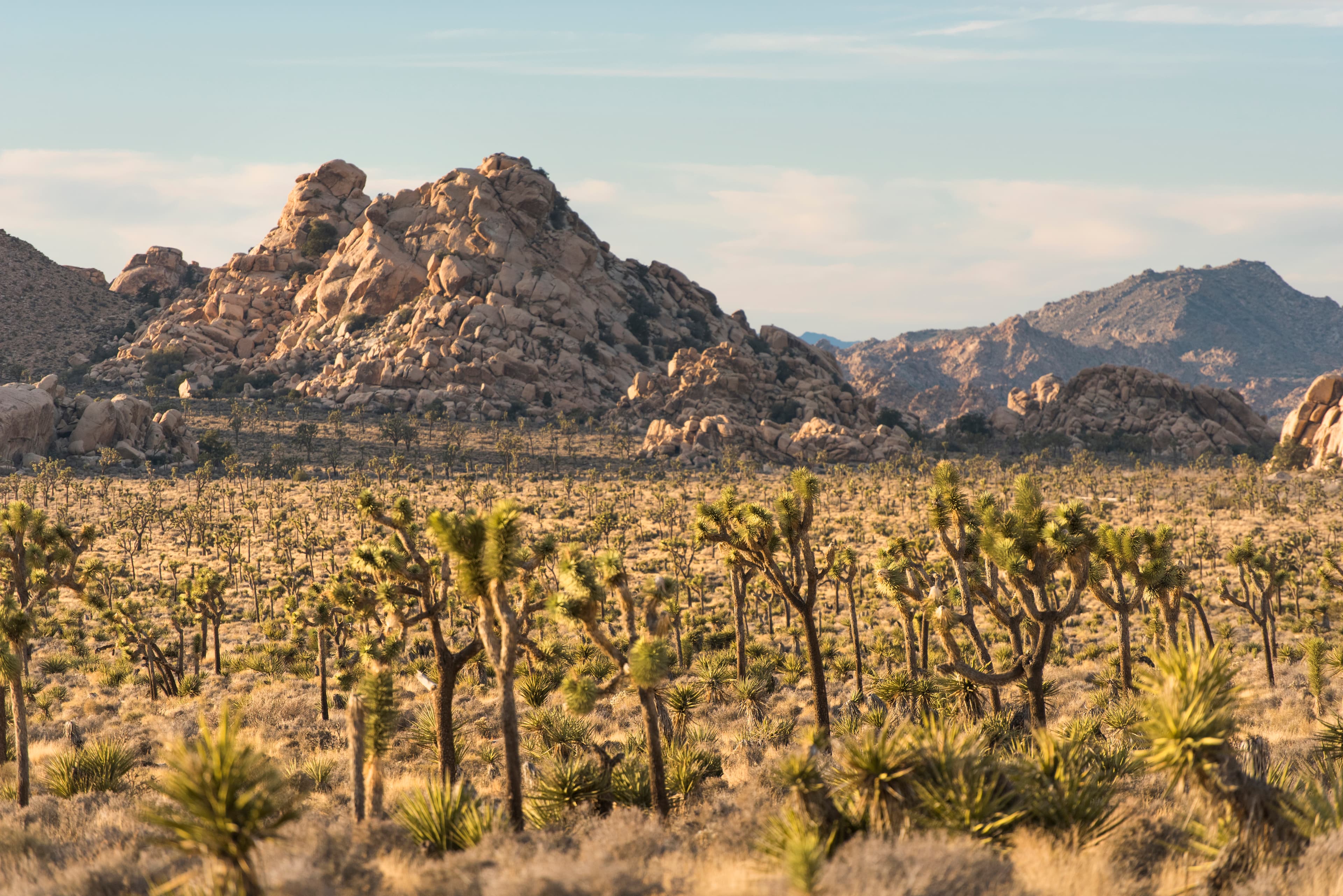
Two distinct desert ecosystems, the Mojave and the Colorado, come together in Joshua Tree National Park. A fascinating variety of plants and animals make their homes in a land sculpted by strong winds and occasional torrents of rain. Dark night skies, a rich cultural history, and surreal geologic features add to the wonder of this vast wilderness in southern California. Come explore for yourself!
Riding guide
Horses provided
Highlights
Joshua Tree National Park blends stark Mojave Desert beauty with open expanses, rocky outcrops, and iconic Joshua trees…
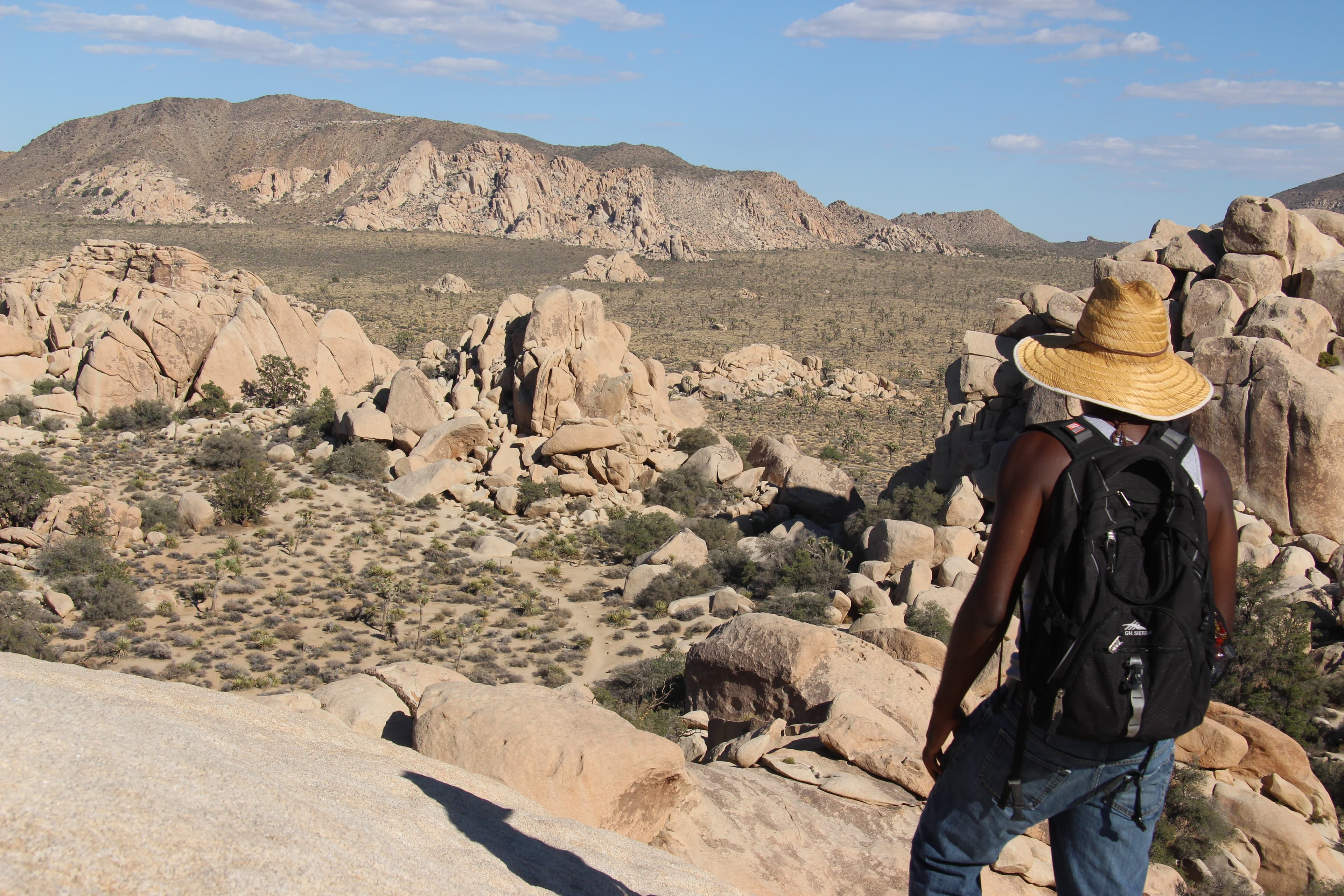
Riding
Rideable terrain here is noted as 250-300 miles, giving riders a clearer sense of scale before they ever unload. Stock use is permitted on designated trails and in approved backcountry areas, offering riders a quieter, more remote way to experience the park beyond the busiest hiking zones. Conditions can be dry, exposed, and demanding, especially in warmer months, so thoughtful preparation is essential.
Rideable terrain
250-300 miles
Trailer parking
Black Rock Canyon Equestrian Campground This is one of the most popular and developed horse areas in the park. Why riders use it • Large parking areas designed for truck and horse trailer rigs • Horse campsites with corrals • Direct access to multiple stock-permitted trails • Good trailer maneuvering space Trails from here connect to the northwestern trail system, including access toward Covington Flats. Covington Horse Camp This is the park’s main horse camp facility and often the preferred staging location. Features • Campsites with horse corrals • Large trailer parking spaces • Direct access to backcountry trails • Very quiet desert setting Many riders stage multi-day rides from here. Geology Tour Road Area Another location where equestrians sometimes stage. Features • Dirt road access suitable for trailers • Access to desert routes and washes • Less developed infrastructure Better for riders comfortable with primitive staging areas. Important Things Riders Should Know • Horses are not allowed on paved roads or near major visitor areas. • Summer temperatures can exceed 110°F, making riding dangerous during the day. • Water for horses is extremely limited inside the park. • Many riders bring all water with them.
Horse regulations
Designated Routes & Areas Horses and other pack animals are permitted on: • Dirt roads open to vehicles • Designated equestrian trails • Washes and open backcountry areas Stock is not permitted on hiking-only nature trails, paved roads (except to cross), or in developed picnic areas. Cross-country travel is allowed in certain backcountry zones, but riders must avoid sensitive desert vegetation and cultural sites. Day Use No permit is required for day riding with your own horse. Overnight Use & Horse Camping Joshua Tree has a designated equestrian campground: Black Rock Equestrian Campground • Corrals provided • Trailer-friendly sites • Reservations required • Seasonal availability Backcountry camping with stock is permitted with a free backcountry registration (self-registration system). Riders must camp at least one mile from roads and 500 feet from trails. Grazing & Feed • Grazing is prohibited. • Only certified weed-free feed is allowed. • Feed must not be scattered on the ground. • Pack out unused forage and manure. Water & Desert Conditions Water is extremely limited in the park. Natural sources are unreliable or absent. Riders must bring sufficient water for both themselves and their horses. Group Size & Control Stock must be under control at all times. Group size limits apply for backcountry camping and may vary by area.
Getting here
Use 74485 National Park Drive, Twentynine Palms, California as your primary planning reference before you haul in. Black Rock Canyon Equestrian Campground This is one of the most popular and developed horse areas in the park. Why riders use it • Large parking areas designed for truck and horse trailer rigs • Horse campsites with corrals • Direct access to multiple stock-permitted trails • Good trailer maneuvering space Trails from here connect to the northwestern trail system, including access toward Covington Flats. Covington Horse Camp This is the park’s main horse camp facility and often the preferred staging location. Features • Campsites with horse corrals • Large trailer parking spaces • Direct access to backcountry trails • Very quiet desert setting Many riders stage multi-day rides from here. Geology Tour Road Area Another location where equestrians sometimes stage. Features • Dirt road access suitable for trailers • Access to desert routes and washes • Less developed infrastructure Better for riders comfortable with primitive staging areas. Important Things Riders Should Know • Horses are not allowed on paved roads or near major visitor areas. • Summer temperatures can exceed 110°F, making riding dangerous during the day. • Water for horses is extremely limited inside the park. • Many riders bring all water with them.
Planning your visit
Must Know Before You Ride • This is fragile desert terrain. Soils and vegetation are easily damaged, and erosion happens quickly. Ride lightly and stay within designated routes. • Trail improvements are ongoing. In areas where construction is complete, riders must remain on clearly established trails. Where construction has not yet occurred, follow existing designated trail footprints and avoid creating new paths. • Most trails are designed for single-file travel. Ride abreast only where the corridor allows. Be alert for riders approaching from the opposite direction and identify safe passing areas. • Horses may not be tethered or allowed to rest within 200 feet of any natural or manmade water source. • Water is extremely limited throughout the park. There are no reliable natural water sources for stock. Plan to carry sufficient water for both rider and horse. • Grazing is prohibited. Use certified weed-free feed and pack out all unused forage and manure. • Heat exposure can be severe, even outside peak summer. Shade is minimal on many routes, and footing often includes sand and rock. • Services and cell coverage are limited. Arrive self-sufficient with a clear route plan.
Where to stay
Joshua Tree National Park Association is the main visitor-contact point tied to this destination, which is helpful when you want current conditions, maps, and stock-use updates before riding. This entry indicates both guided ride support and horse-camping potential, making Joshua Tree National Park one of the more flexible federal options for riders building a fuller travel plan. For a polished trip plan, pair the ride with lodging, fuel, and resupply planning in or near Twentynine Palms before heading deeper into federal-land access points.
Entrance fees & passes
- $30.00
Entrance - Private Vehicle
7-day vehicle permit, admitting the passengers of a single, non-commercial vehicle on the day of purchase and for the next six days.
- $25.00
Entrance - Motorcycle
Valid for 7 days. Admits up to 2 private, non-commercial motorcycles with up to 4 total passengers.
- $15.00
Entrance - Per Person
7-day entrance fee, per person on foot or bike.
- $55.00
Annual Entrance - Park
This pass is valid for 12 months from the month of purchase. It covers the entrance fee to Joshua Tree National Park for the pass signee and accompanying passengers entering in a single, non-commercial vehicle. Joshua Tree Annual Passes are available at park entrance stations and visitor centers.
Trails
No trails synced for this park yet.
Campgrounds
Belle Campground
18 sites
This small campground has 18 sites. There are pit toilets, picnic tables, and fire pits. There is no water so bring plenty of your own. To secure a campsite, 1. Locate an empty campsite. 2. Occupy the site (set up a tent or leave personal items to show site occupancy). 3. Proceed immediately to an entrance station to complete registration and pay. You must pay for the site within one hour of set up. If arriving after entrance stations close, payment may be delayed until morning.
Black Rock Campground
99 sites · 20 horse-friendly
This large (99 site) campground is located in the northwest corner of the park. Each campsite has a picnic table and fire ring with rest rooms and water nearby. Shopping facilities are only five miles away in the town of Yucca Valley. Campsites vary in size and can accommodate both tents and RVs. A day-use picnic area and a dump station are also available. For horse owners, a separate area is provided for camping or for staging a ride.
Reserve a siteCottonwood Campground
62 sites
The Cottonwood Campground is reservation only and has 62 sites, potable water and flush toilets. The Campground is near the Cottonwood Visitor Center in the southeast part of the park. The closest metropolitan area is Indio about 30 miles away. Cottonwood Campground fees will increase to $35 per site starting January 1, 2025. Cottonwood Group Campground fees will increase to $55 per site starting January 1, 2025.
Reserve a siteHidden Valley Campground
44 sites
The Hidden Valley Campground has 44 sites. There are pit toilets, picnic tables, and fire pits. There is no water so bring plenty of your own. To secure a campsite, 1. Locate an empty campsite. 2. Occupy the site (set up a tent or leave personal items to show site occupancy). 3. Proceed immediately to an entrance station to complete registration and pay. You must pay for the site within one hour of set up. If arriving after entrance stations close, payment may be delayed until the following morning.
Indian Cove Campground
101 sites
Indian Cove Campground is located off of Highway 62, thirteen miles east of Joshua Tree Village and ten miles west of Twentynine Palms. It has 101 campsites, including thirteen group campsites. Between Memorial Day and Labor Day, there are 39 reservable sites. There are vault toilets but no water at the campsites. There is a water bottle/jug filling station at the small ranger station roughly two miles north of the campground. For a RV-filling station, there is one at our headquarters in 29 Palms.
Reserve a siteJumbo Rocks Campground
124 sites
There are 124 individual/family sites in Jumbo Rocks Campground. Reservations are required. The campground is centrally located and offers great views of rock formations. This campground is very popular, and sites book up quickly. Campsite fees will increase to $30 per site starting January 1, 2025.
Reserve a siteRyan Campground
32 sites · 3 horse-friendly
Ryan Campground has 31 campsites. All campsites are reservation only. The campground is centrally located in the park and is adjacent to the California Riding and Hiking Trail. There are 4 designated equestrian sites and reservations are required. For more equestrian campsites, see Black Rock Campground. There is no water available at Ryan Campground. There are 3 bicycle sites available at $5 per night, with no more than 3 tents and 3 people per campsite.
Reserve a siteSheep Pass Group Campground
6 sites
Sheep Pass Group Campground has 6 group campsites and is centrally located within Joshua Tree National Park and is easily accessible to hiking trails and rock climbing routes. All campsites are by reservation only. It is one of three group campgrounds in the park. Towering rock formations and uniquely-shaped Joshua trees surround the facility. There is no water available in the campground. Campsite fees are increasing to $55 starting January 1, 2025
Reserve a siteWhite Tank Campground
15 sites
This is small campground with 15 sites. There are pit toilets, picnic tables, and fire pits. There is no water available. RVs and vehicles with trailers may not exceed 25 feet. To secure a site, 1. Locate an empty campsite. 2. Occupy the site (set up a tent or leave personal items to show occupancy). 3. Proceed immediately to an entrance station to complete registration and pay. You must pay for the site within one hour of set up. If entrance stations are closed, payment may be delayed until morning.
Points of interest
Arch Rock and Twin Tanks Trailhead
POIArch Rock Nature Trailhead and the Twin Tanks Wilderness Backpacking Board.
Arch Rock (Arch Rock Trailhead)
POIArch Rock Nature Trailhead and the Twin Tanks Wilderness Backpacking Board.
Bajada Trailhead
POIHike the Bajada Trail
Barker Dam Trailhead
POIThe Barker Damn Nature Trail Trailhead provides quick access to Barker Dam on a 1.1 mile hike.
Bighorn Sheep (Barker Dam Trailhead)
POILearn about Bighorn Sheep at this stop on the audio tour.
Big Trees Trailhead
POIBlack Rock Backcountry Trailhead
POIThe trailhead for many hiking trails in the Black Rock area of Joshua Tree National Park.
Boy Scout Trailhead
POIBurnt Hill Trailhead
POITrailhead for Burnt Hill Loop Trail
California Riding and Hiking Trail at Geology Tour Road
POICalifornia Riding and Hiking Trailhead
POICap Rock
POICap Rock is a popular centrally located rock formation.
Cholla Cactus (Cholla Cactus Garden)
POIEnjoy scenic views of mountains and a large number of cholla growing along Pinto Basin Road.
Cholla Cactus Garden
POIEnjoy scenic views of mountains and a large number of cholla growing along Pinto Basin Road.
Contact Mine Trailhead
POITrailhead for Contact Mine Trail
Continuing Your Journey (Joshua Tree National Park Visitor Center)
POIJoshua Tree National Park Visitor Center in Twentynine Palms, California
Cottonwood Picnic Area
POIPicnic area in cottonwood campground.
Cottonwood Spring
POIA lush desert oasis that also provides access to the Mastodon Peak Loop and Lost Palms Oasis Trail.
Cow Rock
POIA cow shaped rock formation
Cyclops Rock
POICyclops Rock, a large granite rock formation popular with climbers.
Deserts (Quail Springs)
POIQuail Springs Picnic Area is a picnic area along Park Boulevard when entering from the west entrance.
Deserts (Silver Bell)
POISilver Bell Mine Pullout is along Pinto Basin Road.
Deserts (Turkey Flats)
POITurkey Flats in Pinto Basin
Desert Tortoise (Contact Mine)
POITrailhead for Contact Mine Trail and Desert Tortoise stop for the audio tour.
Desert Tortoise (Silver Bell)
POISilver Bell Mine Pullout is located on Pinto Basin Road.
Desert Tortoise (Wilson Canyon)
POIThe Wilson Canyon Pullout along Pinto Basin Road.
Discovery Trailhead
POIEcho T Trailhead
POIHike the Echo T Trail and connect to the Barker Dam from this trailhead.
Ecology (Hidden Valley)
POIThe Hidden Valley Trailhead provides access to explore Hidden Valley.
Elephant Rock near Skull Rock
POIElephant Rock, a granite rock formation shaped like an elephant. This rock formation can be seen from Park Boulevard in front of the Skull Rock and Discovery Trail Trailhead.
Emergency Phone
POIAn emergency phone is available for requesting first aid and medical assistance.
End of Trail
POIEureka Peak Trailhead
POIFace Rock
POIFace Rock, located off spur trail along the Split Rock Trail
Flash Floods (Porcupine Wash)
POIPorcupine Wash is located on Pinto Basin Road.
Fortynine Palms Oasis
POIA desert oasis in the northern portions of Joshua Tree National Park.
Fortynine Palms Oasis Trailhead
POITrailhead for Fortynine Palms Oasis.
Geology (Skull Rock)
POILearn about Geology at Skull Rock during the audio tour.
Geology Tour Road Intersection
POIGeology Tour Road is an 18-mile motor tour leads through one of Joshua Tree National Park's most fascinating geological landscapes.
Hall of Horrors
POIPopular rock formations with views for walks, scrambling, and rock climbing.
Heart Rock
POIHeart shaped rock formation
Hemingway
POIA popular rock formation along Park Boulevard.
Hidden Valley Picnic Area
POIHidden Valley Picnic Area is a large picnic area with picnic tables and grills among rock formations and Joshua Trees.
Hidden Valley Trailhead
POIThe Hidden Valley Trailhead provides access to explore Hidden Valley.
Hi-View Trailhead
POITrailhead for the Hi-View and West Side Loop Trails which meander through mountains and Joshua tree forests.
Homesteading (Ryan Ranch)
POITrailhead for hiking to Ryan Ranch and the Homesteading stop on the audio tour.
Indian Cove Ranger Station
POIThe Indian Cove Ranger Station provides information for the Indian Cove area.
Indian Cove Trailhead
POITrailhead for an easy .6 mile hike with interpretive signs along the way.
Indian Cove Wilderness Backpacking Board
POIBackcountry board and trailhead for the north end of the Boy Scout Trail.
Intersection Rock
POIA large rock formation with over 40 climbing routes.
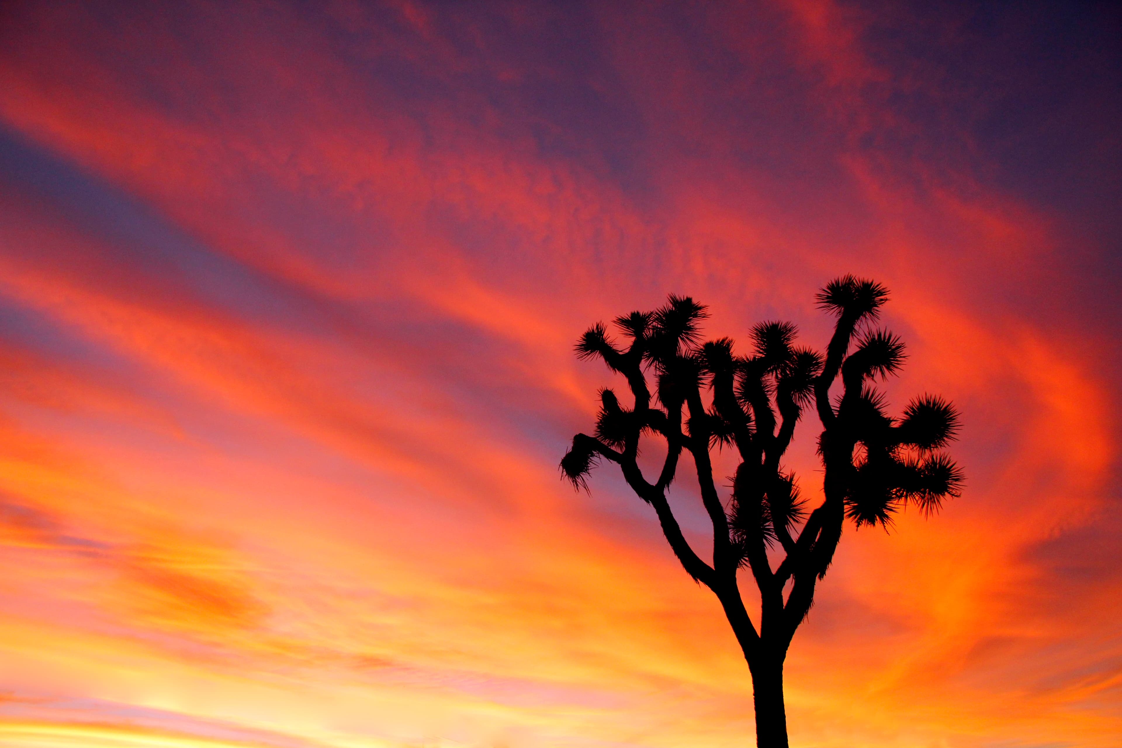
Joshua Trees
POIJoshua Trees (Geology Tour Road)
POIGeology Tour Road is an 18-mile motor tour leads through one of Joshua Tree National Park's most fascinating geological landscapes.
Joshua Trees (Hemingway)
POILearn about Joshua trees at Hemingway.
Joshua Tree Sign
POIThe Joshua Tree National Park entrance sign at the south end of the park.
Juniper Flats Backcountry Trailhead
POIThe Juniper Flats Backcountry Trailhead provides access to the CRHT and other trails.
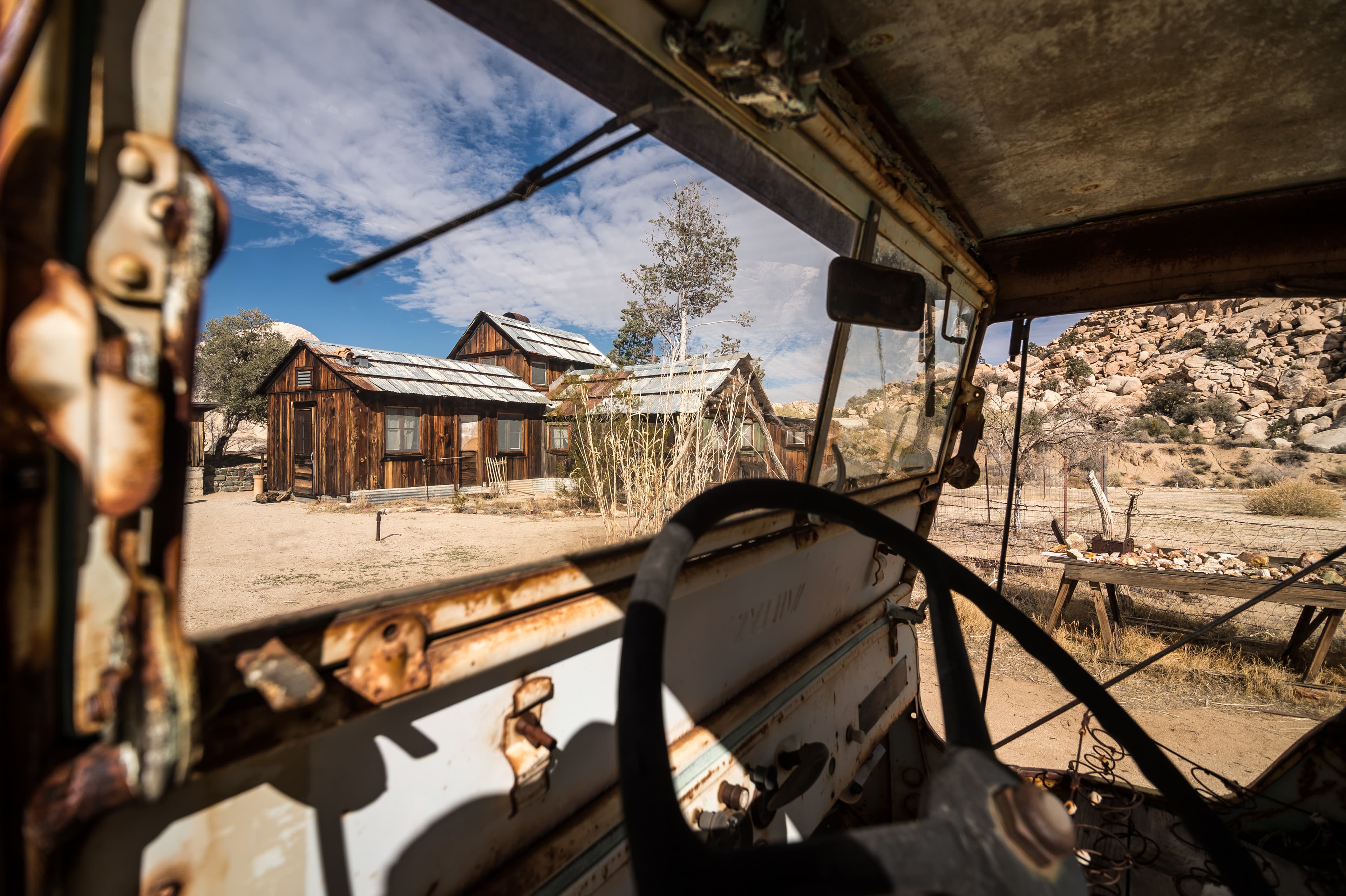
Keys Ranch
POIKeys Ranch was an early ranch created in the area. This location is is only open through guided ranger tours with tickets reserved in advance.
Keys View
POIKeys View is a popular viewpoint providing wide vistas of the Little San Bernardino Mountains and Coachella Valley.
Keys West Wilderness Backpacking Board
POIBackcountry board and trailhead for the south end of the Boy Scout Trail.
Leaving the Park (play as you drive out)
POIQuail Springs Picnic area provides picnic tables, grills, pit toilets, and trail access.
Listen as You Drive Out (North Entrance)
POIThe North Entrance Fee Station is near the town of Twentynine Palms.
Little San Bernardino Mountains
POILive Oak Picnic Area
POIA picnic area along the eastern half of park boulevard.
Lost Horse Loop Trailhead
POIThe Lost Horse Loop Trailhead provides access to the Lost Horse Mine Loop Trail and the Lost Horse Mine.
Lost Horse Mine
POILost Horse Mine was one of the few successful mines from the late 1800's to early 1900's in the area that is now Joshua Tree National Park.
Lost Horse Mine Trailhead
POIThe Lost Horse Mine Trailhead provides access to the Lost Horse Mine Loop Trail and the Lost Horse Mine.
Lost Palms Oasis
POIA desert oasis in the southeastern portion of Joshua Tree National Park.
Lost Palms Oasis Trailhead
POIHike to the Lost Palms Oasis
Lucky Boy Loop Trailhead
POIMalapai Hill Viewpoint Parking Area
POIThe parking area to access views of Malapai Hill.
Mastodon Peak Trailhead
POITrailhead for Mastodon Peak trail in the Cottonwood area of Joshua Tree National Park.
Maze Loop Trailhead
POITrailhead for the Maze Loop Trail
Minerva Hoyt (Minerva Hoyt Trail)
POILearn about Minerva Hoyt at this stop on the audio tour.
Minerva Hoyt Trailhead
POITrailhead for the Minerva Hoyt Trail
Mining History (Juniper Flats)
POIHike the Juniper Flats Backcountry Region
Musical Connection (Cap Rock)
POILearn about the musical connections to Joshua Tree National Park at the Cap Rock stop on the audio tour.
Nancy Karl Trail Overlook
POIThe Nancy Karl Trail is a relatively easy 2 miles trail that starts in the town of Joshua Tree. There is very limited parking at the trailhead.
Nolinas - Not Yuccas
POINorth Entrance Station
POIThe North Entrance Fee Station is near the town of Twentynine Palms.
North View Trailhead
POITrailhead for the North View Trail
Oaks and Pines
POIOasis of Mara
POIA desert oasis located a short walk from the Oasis Visitor Center in the town of Twentynine Palms.
Oasis of Mara Trailhead
POIOcotillo (Ocotillo Patch)
POIScenic view along Pinto Basin Road.
Ocotillo Patch
POIScenic view along Pinto Basin Road.
Orientation (Cottonwood Visitor Center)
POILocated on Pinto Basin Road, approximately 7 miles north of Interstate 10 (exit 168), the Cottonwood Visitor Center is a convenient stop for those entering and exiting the park from the south.
Orientation (Joshua Tree National Park Visitor Center)
POIJoshua Tree National Park Visitor Center in Twentynine Palms, California
Orientation (Joshua Tree Visitor Center)
POIThe Joshua Tree Visitor Center is located in Joshua Tree, California
Oyster Bar
POIA popular rock formation near Ryan Mountain with scenic views.
Paac Kü̱vü̱hü̱’k
POIPalm Oasis (Cottonwood Spring)
POILearn about the Palm Oases at this stop on the audio tour. A lush desert oasis that also provides access to the Mastodon Peak Loop and Lost Palms Oasis Trail.
Panorama Loop Trailhead
POIHike the Panorama Loop for a challenging yet rewarding hike with grand views of the surrounding mountains.
Park Overview (Joshua Tree Sign)
POIThe Joshua Tree National Park entrance sign at the south end of th park.
Park Overview (North Entrance)
POIThe North Entrance Fee Station is near the town of Twentynine Palms.
Park Overview (West Entrance)
POIThe West Entrance Fee Station for Joshua Tree National Park
Park Welcome Sign (west)
POIThe welcome sign at the West Entrance has parking spaces, restrooms, and a waterbottle filling station.
Peak Experience
POIPine City Trailhead
POITrailhead for Pine City and Lucky Boy Vista.
Prehistoric Animals (Pinto Basin Pullout)
POIA pullout along Pinto Basin Road.
Quail Springs Picnic Area
POIQuail Springs Picnic area provides picnic tables, grills, pit toilets, and trail access.
Rare Tree (Live Oak Picnic Area)
POILearn about the Rare Tree at the Live Oak Picnic Area
Rattlesnake Picnic Area
POIPicnic area in Indian Cove
Rock Climbing (Intersection Rock)
POILearn about rock climbing at Intersection Rock
Ryan Mountain Trailhead
POIHiking access to Ryan Mountain.
Ryan Ranch Trailhead
POITrailhead for hiking to Ryan Ranch
San Gorgonio View
POIShort Loop Trailhead
POITrailhead for the Short Loop Trail.
Skull Rock
POISkull Rock is one the most unique and popular rock formations in Joshua Tree National Park.
Skull Rock and Discovery Trail Trailheads
POITrailheads for the Skull Rock Nature Trail and Discovery Trail.
Sky’s the Limit
POIAn observatory and park partner that offers astronomy programs.
Split Rock Trailhead
POISplit Rock picnic area and trailhead.
Start Here (Joshua Tree National Park Visitor Center)
POIJoshua Tree National Park Visitor Center in Twentynine Palms, California
Start Here (Joshua Tree Sign)
POIThe Joshua Tree National Park entrance sign at the south end of the park.
Start Here (Joshua Tree Visitor Center)
POIThe Joshua Tree Visitor Center located in Joshua Tree, California.
Star Wars Rock Viewpoint and Climbing Access Trailhead
POIStubbe Springs Trailhead
POIThat’s Gneiss
POIStop one for the Hi-View Nature Trail Tour.
The Towers of Uncertainty Viewpoint and Rock Climbing Access Trailhead
POITopography and Faults (Keys View)
POILearn about topography at Keys View on the JTNP Audio Tour
Tortoise Crossing
POITurkey Flats
POITurkey Flats in Pinto Basin
Two Deserts (Silver Bell)
POISilver Bell Mine Pullout is located on Pinto Basin Road.
Two Deserts (Turkey Flats)
POITurkey Flats in Pinto Basin
Wall Street Mill Trailhead
POITrailhead for the Wall Street Mill trail, a hiking trail with artifacts from Joshua Tree National Park's mining history.
Warren Peak Trailhead
POITrailhead for Warren Peak Trail
West Entrance Station
POIThe West Entrance Station has fee booths and information.
West Side Loop Trailhead
POITrailhead located on the west side of Black Rock Campground for West Side Loop, a moderate 4.7 mile hike.
Whale Rock
POIA whale shaped rock formation.
Wildfires (Geology Tour)
POIGeology Tour Road is an 18-mile motor tour leads through one of Joshua Tree National Park's most fascinating geological landscapes.
Wildfires (Quail Springs)
POIQuail Springs Picnic area provides picnic tables, grills, pit toilets, and trail access.
Wildflowers (Bajada Nature Trail)
POILearn about wildflowers at the Bajada Nature Trail on the audio tour.
Willow Hole Trailhead
POITrail start for the Willow Hole Trail.
Yucca Clump
POI
Things to do
Attend a Keys Ranch Tour
Take a tour of Keys Ranch with a park ranger.
Duration: 90-120 Minutes
Attend an Evening Ranger Program
Attend an evening program at Joshua Tree National Park.
Duration: 45 Minutes
Attend a Ranger Stroll
Join a ranger on an educational stroll.
Duration: 30-45 Minutes
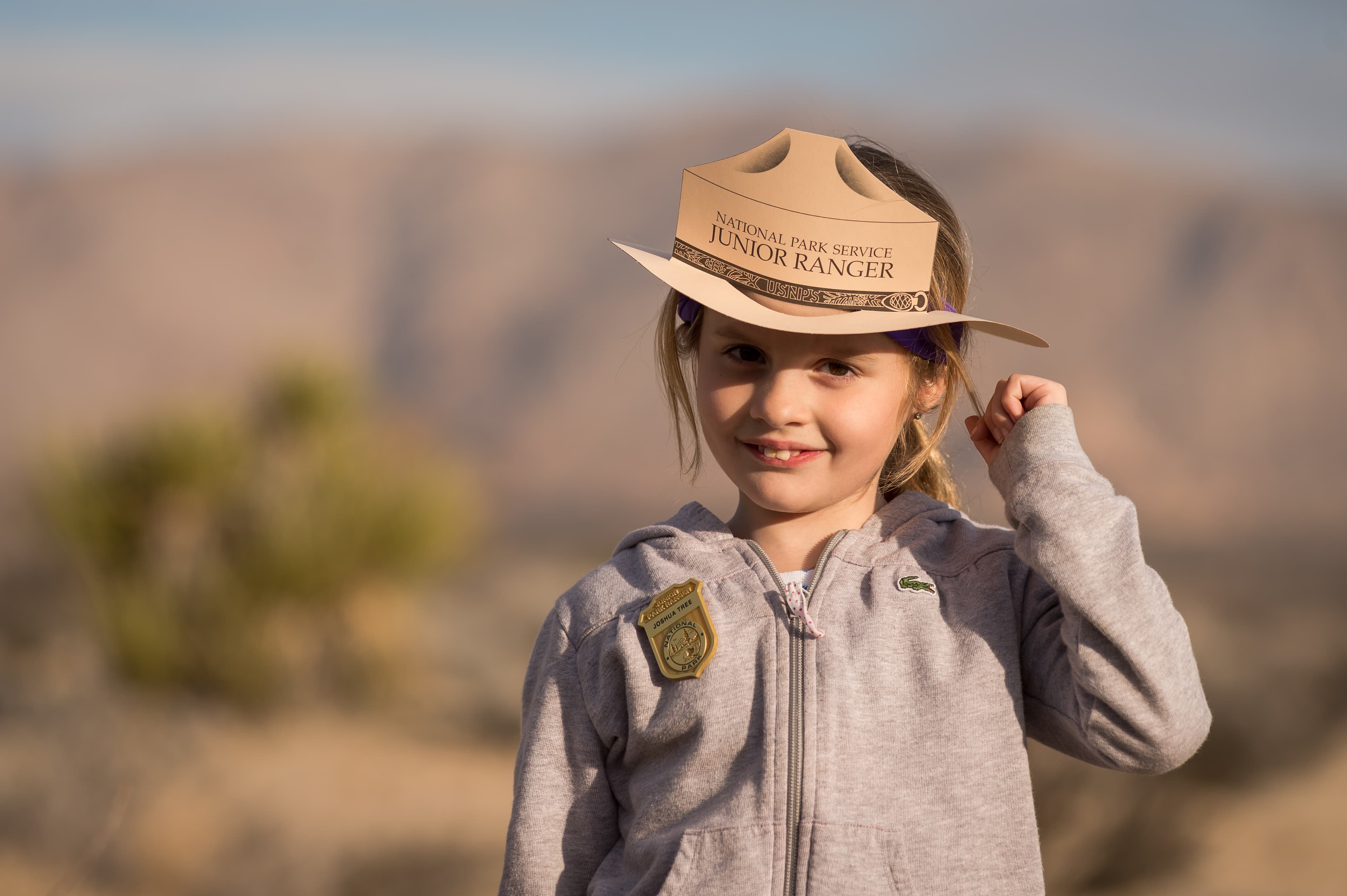
Become a Joshua Tree Junior Ranger
Become a Junior Ranger at Joshua Tree National Park.
Duration: 30-120 Minutes
Biking in Joshua Tree National Park
Biking in Joshua Tree National Park
Duration: 1-10 Hours
Birding at Joshua Tree
Joshua Tree National Park offers a wide range of birds for birders to discover.
Black Rock Zone Backpacking
Backpack in the Black Rock Zone at Joshua Tree National Park. The Black Rock Zone features a wide variety of hiking trails through mountains, washes, ravines, and valleys.
Duration: 2-15 Days
Bouldering Near Barker Dam
Barker Dam offers a wide range of popular bouldering problems.
Boy Scout Trail Zone Backpacking
Experience Joshua Tree National Park's wilderness by backpacking along the Boy Scout Trail.
Duration: 2-15 Days
Drive 4x4 Roads
Joshua Tree offers many miles of backcountry dirt roads for four-wheel drive vehicles to explore.
Duration: 1-10 Hours
Drive Park Boulevard
A scenic drive through Joshua Tree National Park.
Duration: 1-10 Hours
Eagle Mountains Zone Backpacking
Backpack through the Joshua Tree Wilderness in the Eagle Mountains Zone.
Duration: 2-15 Days
Hike Arch Rock
Hike the Arch Rock Trail, a lollipop trail through sandy and rocky terrain. A .6-mile trail leads to a .2-mile loop. The arch is located halfway along the loop. The full hike is 1.4 miles.
Duration: 45-90 Minutes
Hike Bajada Trail
Enjoy this short, easy trail through the Colorado desert.
Duration: 15-30 Minutes
Hike Barker Dam Trail
Enjoy an easy 1.1 mile hike on the Barker Dam Nature Trail.
Duration: 30-60 Minutes
Hike Boy Scout Trail
Explore the Wonderland of Rocks on the Boy Scout Trail.
Duration: 1-10 Hours
Hike Cap Rock
An easy .4-mile loop hike
Duration: 15-45 Minutes
Hike Cholla Cactus Garden
An easy quarter mile hike through a cholla patch along Pinto Basin Road.
Duration: 15-30 Minutes
Hike Contact Mine
Enjoy a secluded hike to a historic mining site.
Duration: 2-3 Hours
Hike Cottonwood Spring
A short, easy 0.1 mile walk to an oasis.
Duration: 5-20 Minutes
Hike Fortynine Palms Oasis
A difficult three mile hike to a desert oasis.
Duration: 2-3 Hours
Hike Hidden Valley Trail
Enjoy an easy one mile hike on Hidden Valley Trail.
Duration: 30-60 Minutes
Hike Hi-View Trail
A moderate 1.3-mile loop hike.
Duration: 1-2 Hours
Hike Indian Cove Trail
An easy .6 mile loop in Indian Cove.
Duration: 30-45 Minutes
Hike Lost Horse Mine
Lost Horse Mine Trail
Duration: 2-4 Hours
Hike Lost Palms Oasis
A difficult 7.5 mile hike to an oasis.
Duration: 4-6 Hours
Hike Mastodon Peak
A moderate three mile loop with 375 feet of elevation gain.
Duration: 2-3 Hours
Hike Minerva Hoyt Trail
Information on the Minerva Hoyt trail.
Duration: 1-2 Hours
Hike Oasis of Mara
An easy half mile walk to a desert oasis.
Duration: 30-45 Minutes
Hike Panorama Loop Trail
Hike up a sandy wash, then follow the ridgeline of the Little San Bernardino Mountains. Enjoy scenic views, dense Joshua tree forest, and pinyon-juniper woodland. This trail is 6.6 miles and has over a 1,000 feet of elevation gain.
Duration: 3-5 Hours
Hike Pine City Trail
A moderate four mile out and back hike.
Duration: 2-3 Hours
Hike Ryan Mountain
A popular, steep, three mile out and back hike with wide panoramic views.
Duration: 2-3 Hours
Hike Skull Rock
A relatively flat, 1.7-mile loop trail. Hike through the large, granite boulder fields around the Jumbo Rocks area, including one near Park Boulevard that closely resembles a Skull.
Duration: 1-2 Hours
Hike Split Rock
Split Rock is a 2.5 mile loop trail with 150 feet of elevation gain and beautiful desert views.
Duration: 90-150 Minutes
Hike Wall Street Mill
A moderate two mile out and back hike to an old mill site.
Duration: 45-120 Minutes
Hike West Side Loop
Enjoy a moderate loop hike in the Black Rock area
Duration: 2-3 Hours
Hike Willow Hole
Enjoy a scenic hike into the Wonderland of Rocks.
Duration: 3-5 Hours
Horseback Riding in Joshua Tree National Park
Horseback riding designated trails in Joshua Tree National Park.
Duration: 1-10 Hours
Juniper Flats Zone Backpacking
Backpack in the Juniper Flats Zone
Duration: 2-15 Days
Maze Zone Backpacking
Backpack the Joshua Tree wilderness in the Maze Zone.
Duration: 2-15 Days
Photographing Joshua Tree
Photography at Joshua Tree National Park.
Pine City Zone Backpacking
Backpack through the Joshua Tree wilderness in the Pine City Zone.
Duration: 2-15 Days
Rock Climbing at Echo T
Echo T offers a wide range of popular technical rock climbing routes.
Rock Climbing at Hidden Valley Nature Trail
Hidden Valley offers a wide range of popular technical rock climbing routes.
Rock Climbing in Indian Cove
Indian Cove offers a wide range of popular technical rock climbing routes.
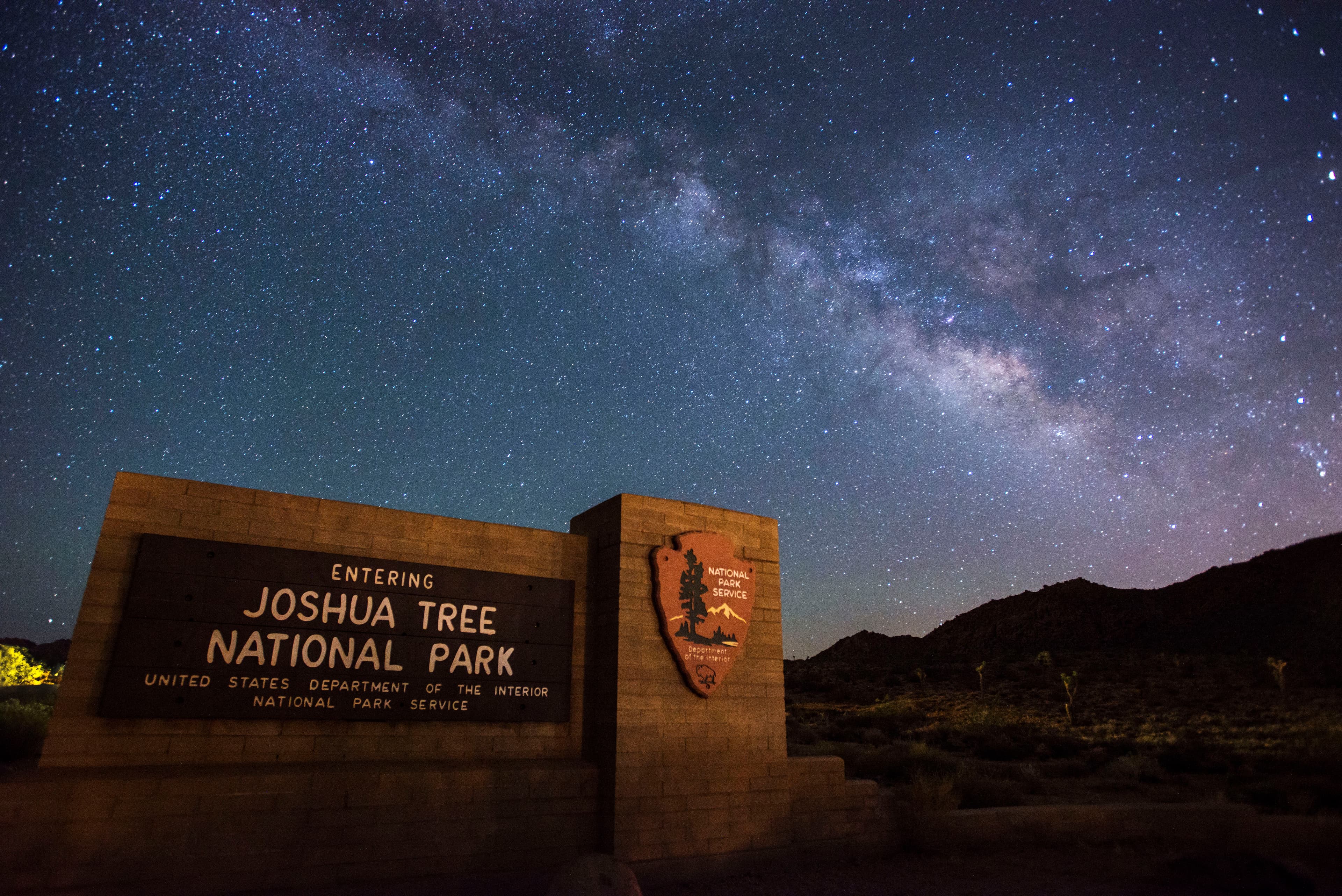
Stargazing at Joshua Tree
Enjoy Joshua Tree National Park's amazing night sky.
Visit the Black Rock Art Gallery
Visit the Black Rock Art Gallery
Duration: 15-45 Minutes
Visit the Universal Threads Exhibit
Visit the Universal Threads Exhibit and learn about the intertwining relationships between plants, animals, earth, sky, and human life.
Duration: 15-60 Minutes
Visitor centers
Black Rock Nature Center
Located in the heart of the beautiful Black Rock Campground, the Nature Center offers a bookstore, art gallery, visitor resources, and a picnic area. Visitors can chat with a park ranger, shop at the bookstore, and observe exhibits in the art gallery. There is also a water-bottle filling station and a restroom with flush toilets. The Nature Center is open from 8:00-11:00am 12:00-4:00pm. It is closed from 11:00am - 12:00pm. Hours may vary depending on staff availability, especially in the summer.
Get directionsCottonwood Visitor Center
Located on Pinto Basin Road, approximately 7 miles north of Interstate 10 (exit 168), the Cottonwood Visitor Center is a convenient stop for those entering and exiting the park from the south. It has educational exhibits, a bookstore, visitor resources, and restroom facilities. You can grab a park map, buy an entrance pass, fill up your water bottle, and chat with a park ranger to get all your questions answered. The flush toilets are currently out of service.
Get directionsJoshua Tree National Park Visitor Center
The Joshua Tree National Park Visitor Center is located in downtown Twentynine Palms and features educational exhibits, a bookstore and giftshop, and visitor information.
Get directionsJoshua Tree Visitor Center
Located in downtown Joshua Tree just five miles from the West Entrance, the Joshua Tree Visitor Center offers educational exhibits, a bookstore, and visitor resources. Grab a park map, buy an entrance pass, and chat with a park ranger to get all your questions answered before heading into the park! The parking lot at the visitor center has 2 standard accessible spaces and 40 other spaces. The restrooms have grab bars available in all larger stalls intended for wheelchair users and running water.
Get directions
Webcams
View from Belle Mountain
Currently unavailable.
Hours of operation
Joshua Tree National Park
Joshua Tree National Park is open 24 hours a day, 7 days a week, 365 days a year. Visitation increases as temperatures moderate in the fall, peaks during the spring wildflower season, and diminishes during the heat of summer. Some areas of the park are designated for day use only. Visitor centers keep separate hours; please see descriptions.
Mon
All Day
Tue
All Day
Wed
All Day
Thu
All Day
Fri
All Day
Sat
All Day
Sun
All Day
Activities
Weather
Days are typically clear with less than 25% humidity. Temperatures are most comfortable in the spring and fall, with an average highs around 85°F (29°C) and average lows around 50°F (10°C) respectively. Winter brings cooler days, around 60°F (15°C), and freezing nights. It occasionally snows at higher elevations. Summers are hot, over 100°F (38°C) during the day and not cooling much below 75°F (24°C) at night.
Contact
Photos
Stay near this park
No horse-friendly stays listed near Joshua Tree National Park yet. Know a great barn or property? Help fellow riders by listing it.
List your propertyDirections
From I-10, take exit 117 for CA Hwy 62 toward 29 Palms/Yucca Valley. This will allow you to access the West Entrance, the North Entrance, Black Rock, and Indian Cove. Take exit 168 off I-10 to come in at the park's South Entrance.
Source: nps.gov