
Caution
Vehicle Break-Ins
Vehicle break-ins have occurred at the King Canyon Trailhead, as well as at other trailheads throughout the park. Hide valuables and consider taking them with you, secure your vehicle, and report any suspicious activity. Please call 911 to report criminal activity or the Pima County Sherriff's Department Non-Emergency number at 520-351-4900.
Information
RV and trailer precautions: be aware of vehicle restrictions before visit.
As the busy season ramps up, traffic will be denser and can result in delays and complications particularly for owners of longer vehicles. The Tucson Mountain District (west side) of the park can accommodate vehicles up to 40ft in total length on the loop drive and has RV parking available at the Visitor Center, and the Rincon Mountain District (east side) can accommodate vehicles up to 40ft in length on the loop drive but has no RV parking available at the Visitor Center.
Information
Rideshare services should be used with caution if visiting the Tucson Mountain District
Rideshare services will drop visitors off at the park, but usually will not pick them back up. To avoid being stranded in the park, coordinate two-way trips before using rideshares to visit the West side. No major trails start at the visitor center.
Saguaro National Park
AZ · Tucson
Tucson, Arizona is home to the nation's largest cacti. The giant saguaro is the universal symbol of the American west. These majestic plants, found only in a small portion of the United States, are protected by Saguaro National Park, to the east and west of the modern city of Tucson. Here you have a chance to see these enormous cacti, silhouetted by the beauty of a magnificent desert sunset.
Riding guide
Highlights
Saguaro National Park protects one of the most iconic landscapes in the American Southwest.
Riding
Rideable terrain here is noted as 100 miles, giving riders a clearer sense of scale before they ever unload. Equestrian access is concentrated primarily in the Tucson Mountain District (west side) of the park, where riders can explore long desert trails that travel through sandy washes, open valleys, and low desert ridges. The terrain here tends to be wide and rolling, making it well suited for relaxed desert riding with expansive views of the surrounding mountains.
Rideable terrain
100 miles
Trailer parking
The most commonly used staging area for equestrians is the Cam-Boh Trailhead in the Tucson Mountain District. This trailhead provides parking suitable for trucks and horse trailers and serves as one of the primary access points to the park’s equestrian trail system. From the Cam-Boh Trailhead, riders can access several interconnected routes including the Cam-Boh Trail, Brown Mountain Trail, and other desert routes that extend through the western section of the park. Additional access points exist within the Cactus Forest District, though parking areas in that section are generally smaller and may be less suitable for larger trailers.
Horse regulations
Horseback riding is permitted on designated trails within Saguaro National Park. Riders must remain on trails where equestrian use is allowed and may not travel off trail within the park. The trail system is shared with hikers, and riders should practice appropriate shared-trail etiquette when encountering other visitors. Because the park protects fragile desert ecosystems, riding through washes, vegetation, or areas outside the established trail corridor is prohibited. Visitors entering the park must pay the standard National Park Service entrance fee unless they hold a valid park pass.
Getting here
Use 3693 S Old Spanish Trail, Tucson, Arizona as your primary planning reference before you haul in. The most commonly used staging area for equestrians is the Cam-Boh Trailhead in the Tucson Mountain District. This trailhead provides parking suitable for trucks and horse trailers and serves as one of the primary access points to the park’s equestrian trail system. From the Cam-Boh Trailhead, riders can access several interconnected routes including the Cam-Boh Trail, Brown Mountain Trail, and other desert routes that extend through the western section of the park. Additional access points exist within the Cactus Forest District, though parking areas in that section are generally smaller and may be less suitable for larger trailers.
Planning your visit
Saguaro National Park sits within the Sonoran Desert, where temperatures can become extremely hot for much of the year. Riders typically plan rides early in the morning or during cooler seasons such as fall, winter, and spring. Trail surfaces often include sandy washes, rocky desert paths, and loose gravel typical of the region. Horses should be comfortable navigating desert terrain. Water is generally not available along most trails, so riders should bring sufficient water for both horse and rider when planning longer rides. Wildlife in the park includes javelina, coyotes, desert birds, and reptiles such as rattlesnakes during warmer months. Riders should remain attentive when traveling through brushy or rocky sections of trail. The park is known for its incredible concentration of saguaro cactus, some of which are more than 150 years old. Staying on designated trails helps protect these sensitive desert environments. Saguaro National Park offers riders an unforgettable opportunity to travel through the heart of the Sonoran Desert beneath thousands of towering cactus and sweeping desert mountain views.
Where to stay
Saguaro National Park, Arizona is the main visitor-contact point tied to this destination, which is helpful when you want current conditions, maps, and stock-use updates before riding. Horse camping is allowed, so this destination can work as more than a quick in-and-out ride if you want to build a longer federal-land stay around it. For a polished trip plan, pair the ride with lodging, fuel, and resupply planning in or near Tucson before heading deeper into federal-land access points.
Entrance fees & passes
- $25.00
Entrance - Private Vehicle
The vehicle entrance pass is sold in the form of a dated register receipt and admits one privately owned, non-commercial vehicle into Saguaro National Park. This includes passenger cars, trucks, vans, recreational vehicles, campers, or converted buses used for private, recreational purposes.
- $15.00
Entrance - Per Person
Individuals entering the park by means other than a motor vehicle may purchase individual entrance passes. This includes hikers, horseback riders and bicyclists. The individual entrance fee is charged to anyone 16 years of age or older.
- $20.00
Entrance - Motorcycle
Valid for 7 days. Admits up to 2 private, non-commercial motorcycles with up to 4 total passengers.
- $45.00
Annual Entrance - Park
This pass covers up to 4 adults (anyone over the age of 16) or everyone in a single, non-commercial, vehicle. Is accepted in both districts of the park.
Trails
No trails synced for this park yet.
Campgrounds
Douglas Spring
0 sites
- 4,800 feet elevation - 3 campsites (6 people max per site) *This campground is hike in only! The hike up offers beautiful views down toward Tanque Verde Falls and of multiple drainages including Tina Larga tank. There is a drainage about 50 feet east of the campsite, but water is seasonal, so it is smart to check water reports before heading out. Fires are not allowed here due to the lack of firewood and the extremely fire-prone grasslands that occupy the area. Cell service is not guaranteed.
Grass Shack
0 sites
- 5,300 feet elevation - 3 campsites (6 people max per site) *This campground is hike in only! Grass Shack is a great campground that offers shade from large oaks. The biggest watershed in the Rincon mountains (Chimenea Creek) runs through and by the campground, providing water most of the year. Fires are not allowed here as this campground is in a fragile, riparian ecosystem surrounded by a thick grassland.
Happy Valley Saddle
0 sites
- 3 campsites (6 people max per site) *This campground is hike in only! This is the shortest hike to a campground, covering 3.9 miles and over 2000 feet of elevation gain. Water at this campsite is variable, only occurring during wet times. This campground offers a resting point to climbing Rincon Peak, and sits at an elevation of 6200 feet. There are many dangerous dead pine trees in the area, and this area is often affected by winter storms.
Juniper Basin
0 sites
- 6,000 elevation - 3 campsites (6 people max per site) *This campground is hike in only! This campground is a tough day hike up the Tanque Verde Ridge over 6.9 miles and 3000 feet of elevation gain. Exceptional views can be seen throughout the hike, and habitats change quickly from desert scrub to oak savanna and pine / juniper woodlands. Water here is very seasonal, and it is often dry during the summer, spring and fall. When there is water, sources can be found west of site 1.
Manning Camp
6 sites · 6 horse-friendly
- 8,000 feet elevation - 6 campsites (max 6 people per site) - water available year-round *This campground is hike in only! Depending on where you start, the hike up to Manning can be anywhere from 9-18 miles and accumulates 5500-6500 feet of elevation. As you hike up, you will pass through multiple different biomes with spectacular changes in flora and fauna composition, passing through riparian zones and dry cliff alike (not to mention the extraordinary views).
Spud Rock Spring
0 sites
- 3 campsites (6 people max per site) *This campground is hike in only! Spud Rock is the most isolated of our six campgrounds, sitting on the east side of the range at 7200 feet. Access is generally from the east, but Turkey Creek trailhead is very difficult to drive and requires a lifted truck or a jeep. At the very least, you will need a vehicle with four-wheel drive. Also, make sure to check the conditions of the road before heading out as it can become muddy and treacherous after some rain.
Points of interest
Cactus Garden Trail
POICactus Wren Trail, Access Point 3
POICam-Boh Picnic Area (West District)
POIDesert Discovery Trail
POIDesert Winds Trail, Access Point 2
POIEz-Kim-In-Zin Picnic Area (West District)
POIFee Kiosk, Rincon Mountain District
POIGates Pass Trailhead
POIJavelina Picnic Area (East District)
POIJavelina Rocks Overlook
POIJavelina Wash Trail
POIKing Canyon Trailhead
POIMam-A-Gah Picnic Area (West District)
POIManning Cabin
POIThe Manning Cabin sits in the Rincon Mountains in Saguaro National Park. Levi H. Manning had the cabin built in 1905 for use as a mountain summer home. It was the first such retreat built in the Rincon Mountains.
Mica View Picnic Area (East District)
POIMica View Trail
POIPull-off along Cactus Forest Loop Drive
POIRidge View Trail
POISendero Esperanza Picnic Area (West District)
POISignal Hill (West District)
POISigns of Life, Self-Guided Tour Introduction
POISigns of Life, Self-Guided Tour Stop 1
POISigns of Life, Self-Guided Tour Stop 10
POISigns of Life, Self-Guided Tour Stop 11
POISigns of Life, Self-Guided Tour Stop 12
POISigns of Life, Self-Guided Tour Stop 2
POISigns of Life, Self-Guided Tour Stop 3
POISigns of Life, Self-Guided Tour Stop 4
POISigns of Life, Self-Guided Tour Stop 5
POISigns of Life, Self-Guided Tour Stop 6
POISigns of Life, Self-Guided Tour Stop 7
POISigns of Life, Self-Guided Tour Stop 8
POISigns of Life, Self-Guided Tour Stop 9
POISmall Parking Lot, east of Redhills VC
POISus Picnic Area (West District)
POITanque Verde Ridge Trail
POIValley View Overlook Nature Trail
POIValley View Trailhead
POIYou Are Here: Poetry in Parks at Mica View Picnic Area
POIMica View Picnic Area, specifically for Poetry in the Parks event in 2024
Visitor centers
Red Hills Visitor Center (West)
The Red Hills Visitor Center is a great place to learn about the park and start your visit to Saguaro National Park's West District. Views from the patio are spectacular and overlook the Red Hills and majestic Saguaro cactus forest nearby. Learn more about the unique geology of the Tucson Mountains, get great recommendations on how to get the most out of your time in the park, or explore the park bookstore. General information, park maps, and hiking guides are available on the southern patio 24/7.
Get directionsRincon Mountain Visitor Center (East)
At the visitor center, you will find the bookstore, information station, maps and restrooms. The visitor center is also the starting point for a scenic auto/bike tour around the Cactus Forest Loop Drive offering incredible views of the Rincon Mountains. There are several great hikes to do along the drive including the mile loop along the Freeman Homestead Trail to learn about homesteading in the desert.
Get directions
Hours of operation
Saguaro National Park
The park is always open, except under emergency conditions. You can walk or bike into the park 24 hours a day. The Visitor Centers are open daily from 9:00am - 5:00pm from Oct. 1st to May 31st, & switch to 8:00am - 4:00pm from June 1st to Sept. 30th. In the Tucson Mountain District (West), The Bajada Loop Scenic Drive (Golden Gate Road & Hohokam Road) is open to vehicles during daylight hours. In the Rincon Mountain District (East), the Cactus Forest Loop Drive is open from 5:00am - 8:30pm.
Mon
All Day
Tue
All Day
Wed
All Day
Thu
All Day
Fri
All Day
Sat
All Day
Sun
All Day
Activities
Weather
Winter Season With daytime temperature from the low 50's to the high 70's Summer Season As we get deeper into the summer season, temperatures will range from mid-90's to low 110's. This is a great time to experience the desert as the day breaks or in the late of the day as the sun disappears behind the surrounding mountain ranges. During the late spring and summer months Saguaro National Park only offers interpretive programs on an intermittent basis.
Contact
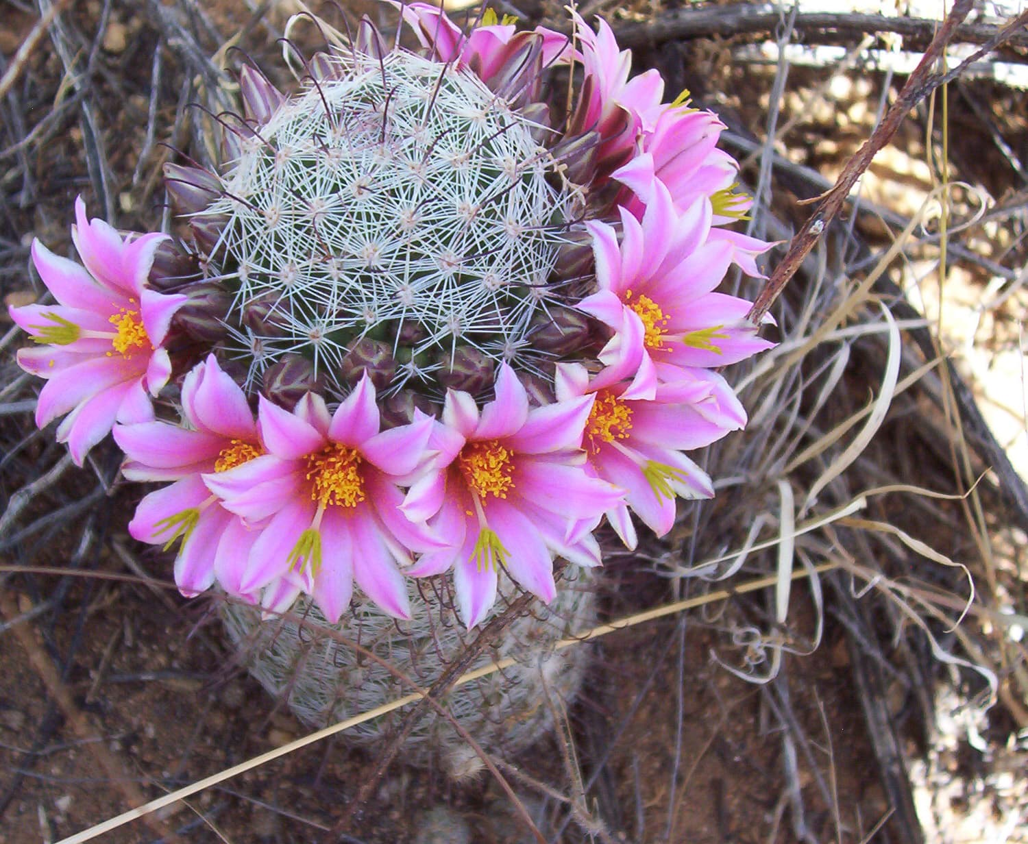
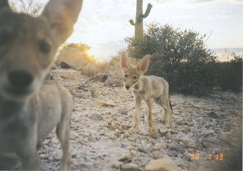
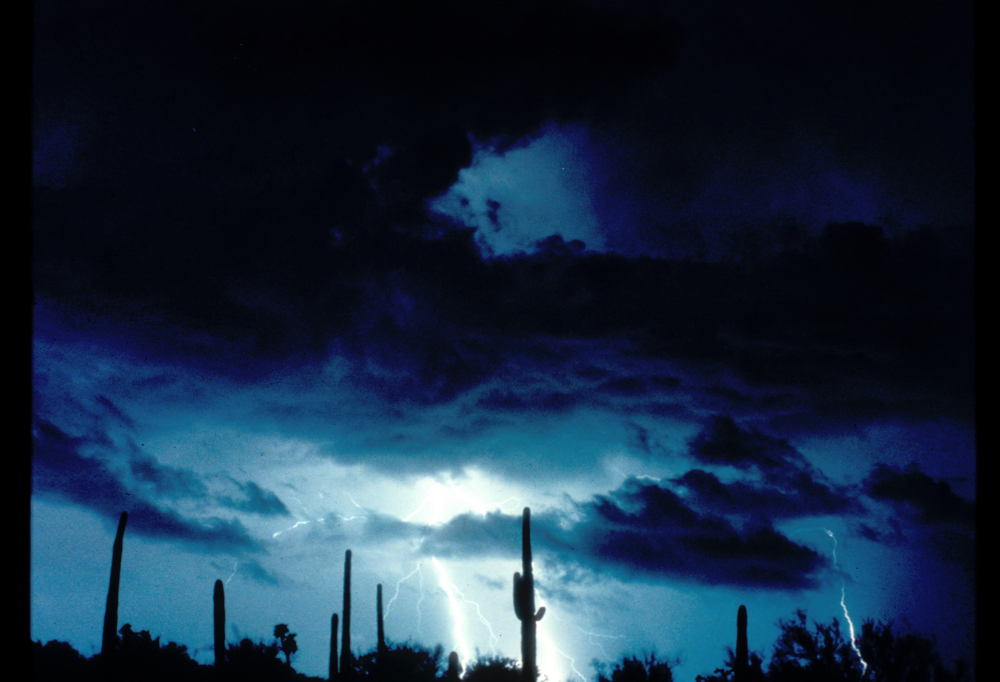
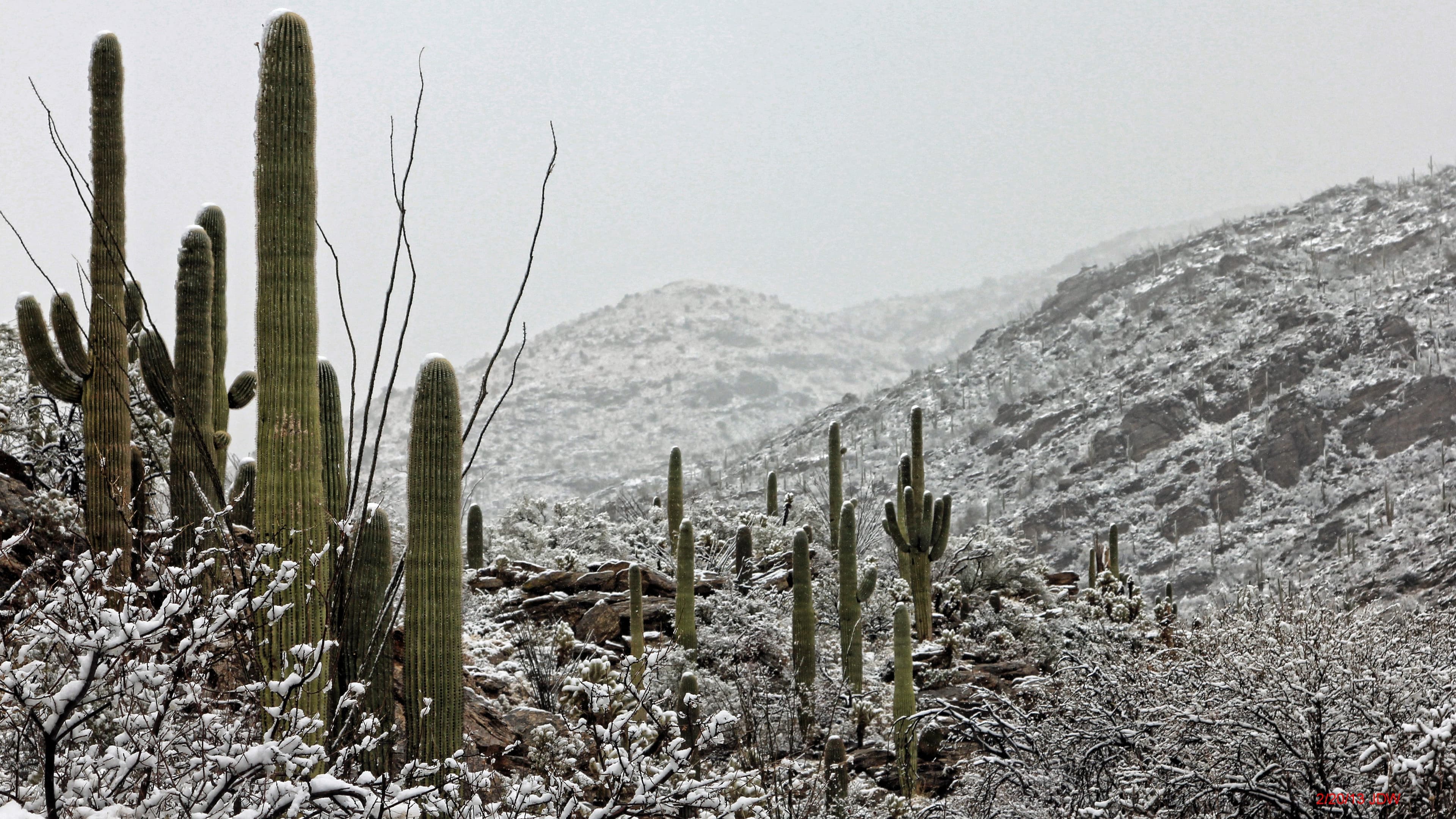
Photos
Stay near this park
No horse-friendly stays listed near Saguaro National Park yet. Know a great barn or property? Help fellow riders by listing it.
List your propertyDirections
Saguaro National Park has two districts separated by the city of Tucson. The address for the Saguaro National Park West District is 2700 N Kinney Rd. We do not recommend using mobile mapping applications to search for either district. Instead, please click the link to the directions page, determine which district you plan to visit, and enter that physical address into the mobile application.
Source: nps.gov