
Santa Monica Mountains National Recreation Area
CA · Calabasas
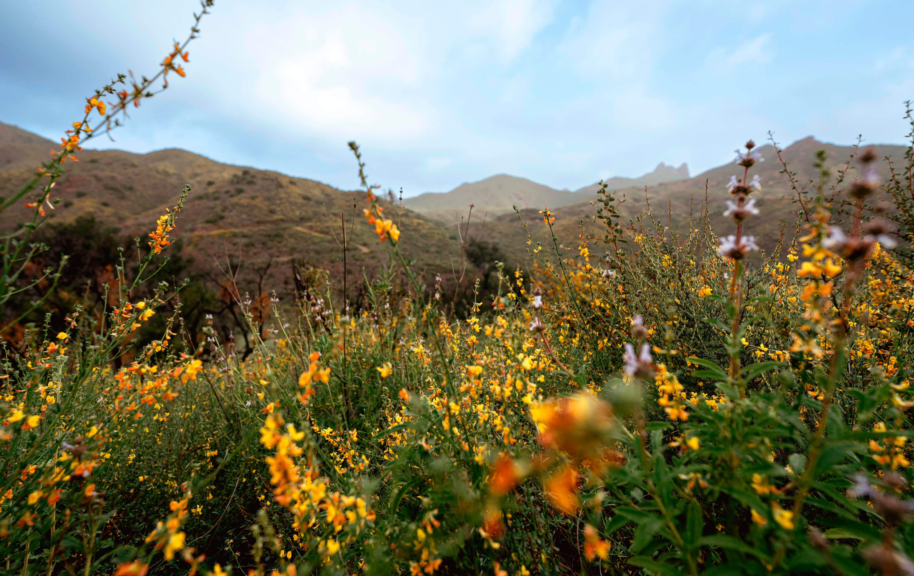
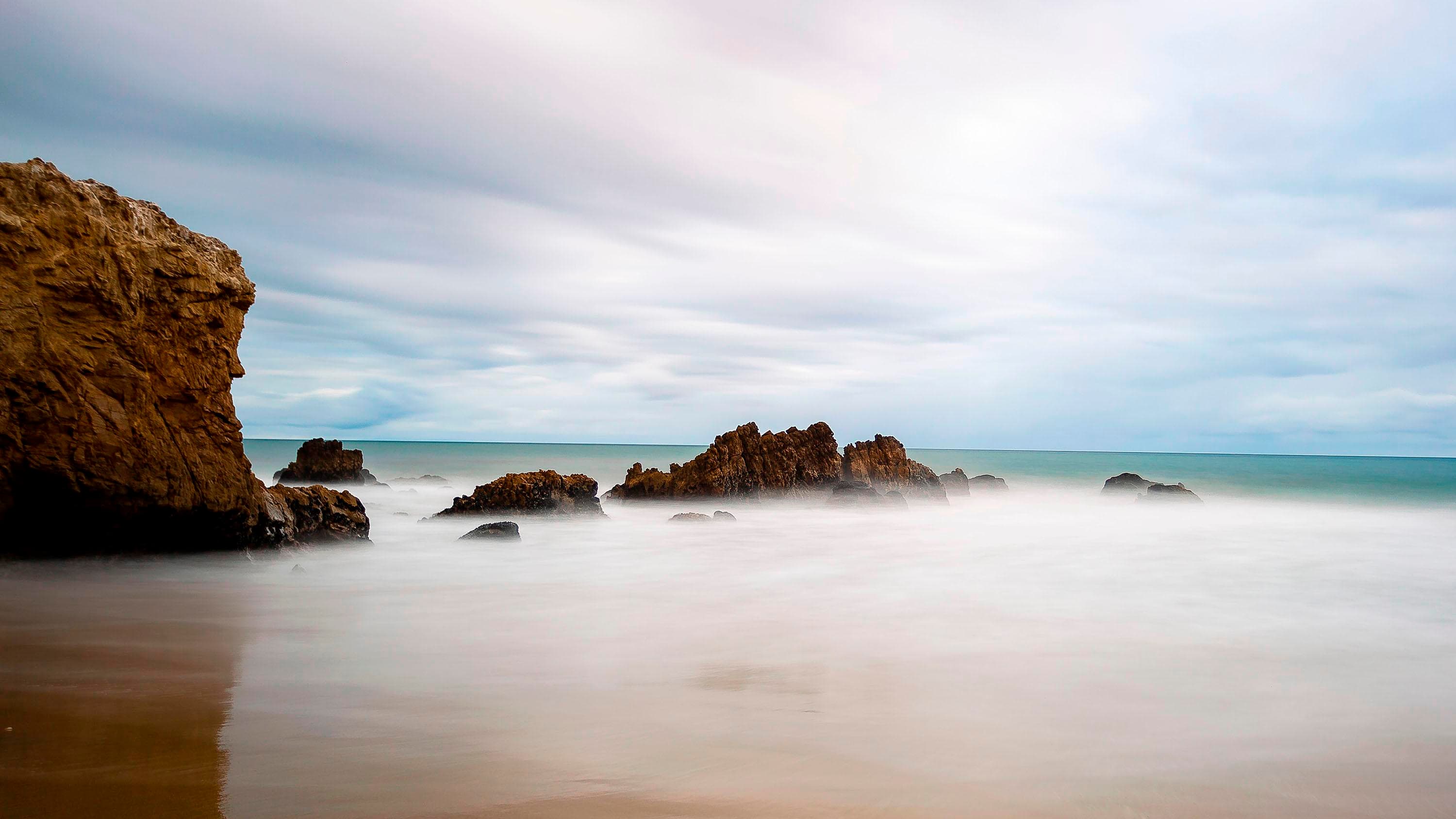
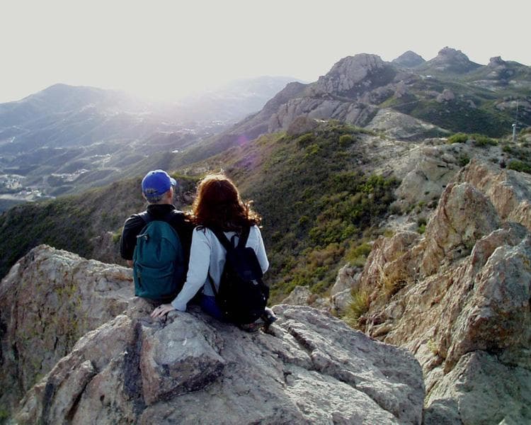
The Santa Monica Mountains offer easy access to surprisingly wild places. Experience the famous beaches of Malibu or explore more than 500 miles of trails. The park abounds with historical and cultural sites, from old movie ranches to Native American centers. What will you and your family discover?
Riding guide
Highlights
Hidden just beyond the skyline of Los Angeles, Santa Monica Mountains National Recreation Area offers one of the…
Riding
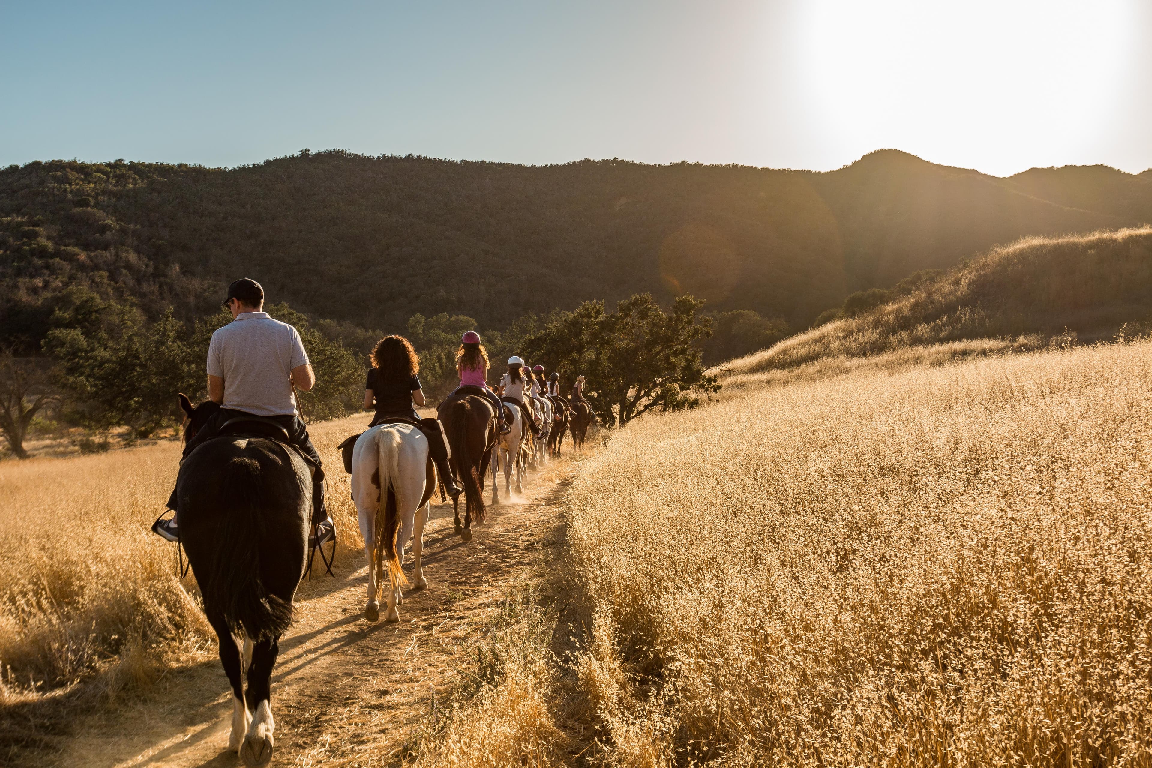
Rideable terrain here is noted as 500 miles, giving riders a clearer sense of scale before they ever unload. For equestrians, the park is a true playground. With over 500 Miles of multi-use trails open to horses, riders can explore everything from narrow single-track canyon paths to wide ranch roads that climb high ridgelines above the coast.
Rideable terrain
500 miles
Trailer parking
Paramount Ranch Equestrian Trailhead Location Agoura Hills, California Why riders use it One of the largest equestrian staging areas in the recreation area Direct access to Backbone Trail segments and ranch trails Wide parking area that accommodates large trailers and groups Terrain access Rolling grasslands, oak woodland trails, and connections into the central Santa Monica Mountains trail network. Chesebro Canyon Trailhead Location Near Agoura Hills / Palo Comado Canyon area Why riders use it Popular staging area with large dirt parking lot suitable for horse trailers Direct access to multiple multi-use trails and ridge routes Good starting point for longer loop rides Terrain access Canyon trails, ranch roads, and ridgeline routes with ocean-facing views. Malibu Creek State Park – Crags Road / Day Use Area Location Calabasas, California Why riders use it Large parking areas that can accommodate trailers Access to Malibu Creek trail system and mountain routes Connects to several long backcountry routes used by riders Terrain access Creek corridors, oak woodland, and mountain ridges. Sycamore Canyon / Point Mugu State Park Equestrian Parking Location Western portion of the recreation area near Point Mugu Why riders use it Dedicated equestrian staging areas in several canyon trailheads Access to long coastal mountain trail systems Popular for long endurance-style rides Terrain access Coastal mountains, chaparral ridges, and canyon trails with ocean views. Rancho Sierra Vista / Satwiwa Area Location Near Newbury Park Why riders use it Large open staging area used frequently by local equestrians Access to Backbone Trail connections and Boney Mountain area Terrain access Wide grasslands, ranch roads, and scenic mountain routes.
Horse regulations
Where Horses Are Allowed Horses and other pack animals are only permitted on trails that are clearly posted as open to equestrian use. Riding off-trail or cross-country is not allowed in the recreation area. Because the park is made up of lands managed by multiple agencies (National Park Service, California State Parks, local agencies), riders should always check trail signage before entering a route. Areas Where Horses Are Not Allowed Horses are prohibited in several types of locations, including: Picnic areas Campgrounds Lawn or developed visitor areas Buildings or historic structures Other heavy visitor-use areas unless hitching facilities are provided Trail Etiquette and Riding Rules Equestrians must follow shared-trail etiquette because most trails are used by hikers and mountain bikers. Key rules include: Pass other trail users at a slow walk. Galloping is prohibited except with a special permit or for official park activities. Riders may lead only one additional horse (ponying one horse). Hikers are expected to yield to horses, but riders must maintain control of their animals at all times. Horse Handling Rules To protect vegetation and park resources: Tying horses to trees or plants is not allowed. Horses may only be tied in developed areas where hitching posts or rails are provided. Riders must scatter or remove manure at trailheads and developed areas after unloading or loading horses. Grazing and Feeding Grazing is prohibited throughout the recreation area. Riders must bring their own feed and manage animals responsibly. Trail Closures and Conditions Trails may be temporarily closed to protect the landscape, especially: After heavy rain During wildfire recovery When erosion risk is high Riders should always check current conditions before hauling horses into the mountains.
Getting here
Use 26876 Mulholland Highway, Calabasas, California as your primary planning reference before you haul in. Paramount Ranch Equestrian Trailhead Location Agoura Hills, California Why riders use it One of the largest equestrian staging areas in the recreation area Direct access to Backbone Trail segments and ranch trails Wide parking area that accommodates large trailers and groups Terrain access Rolling grasslands, oak woodland trails, and connections into the central Santa Monica Mountains trail network. Chesebro Canyon Trailhead Location Near Agoura Hills / Palo Comado Canyon area Why riders use it Popular staging area with large dirt parking lot suitable for horse trailers Direct access to multiple multi-use trails and ridge routes Good starting point for longer loop rides Terrain access Canyon trails, ranch roads, and ridgeline routes with ocean-facing views. Malibu Creek State Park – Crags Road / Day Use Area Location Calabasas, California Why riders use it Large parking areas that can accommodate trailers Access to Malibu Creek trail system and mountain routes Connects to several long backcountry routes used by riders Terrain access Creek corridors, oak woodland, and mountain ridges. Sycamore Canyon / Point Mugu State Park Equestrian Parking Location Western portion of the recreation area near Point Mugu Why riders use it Dedicated equestrian staging areas in several canyon trailheads Access to long coastal mountain trail systems Popular for long endurance-style rides Terrain access Coastal mountains, chaparral ridges, and canyon trails with ocean views. Rancho Sierra Vista / Satwiwa Area Location Near Newbury Park Why riders use it Large open staging area used frequently by local equestrians Access to Backbone Trail connections and Boney Mountain area Terrain access Wide grasslands, ranch roads, and scenic mountain routes.
Planning your visit
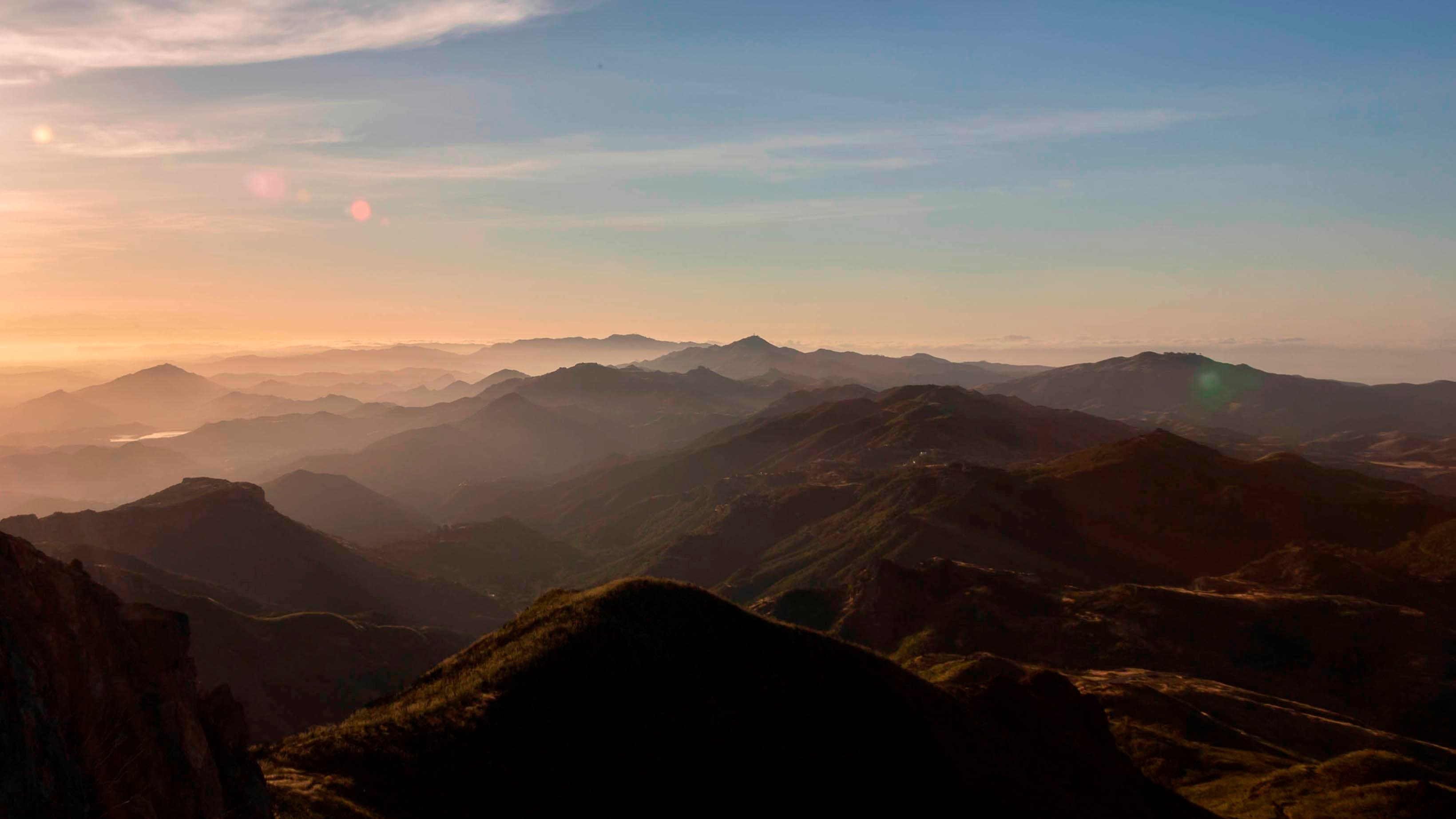
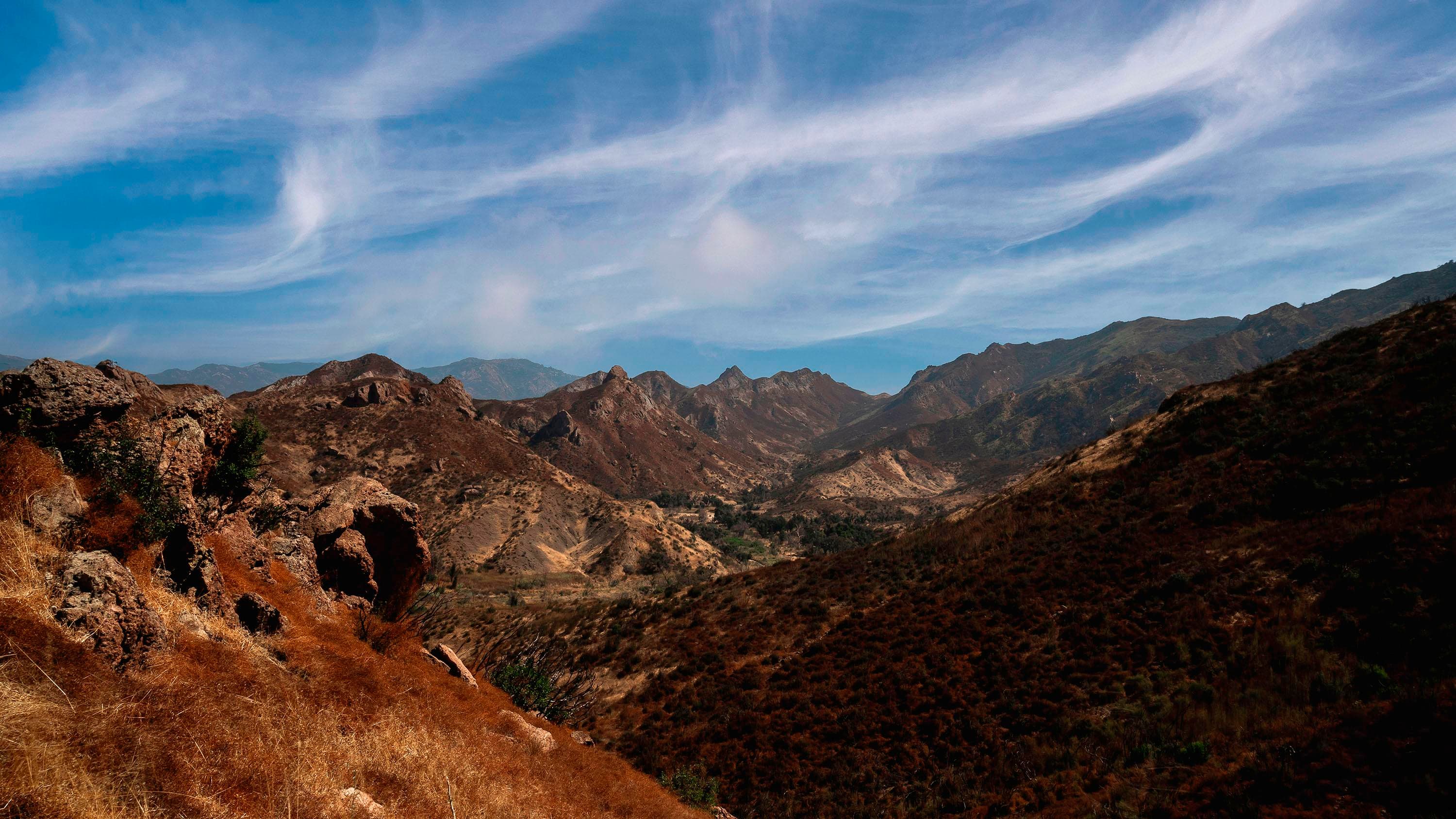
Santa Monica Mountains National Recreation Area offers one of the largest and most scenic horseback riding networks in the National Park system. However, the park’s size, terrain, and multi-agency management mean riders should plan carefully before hauling horses into the mountains. The Park Is Managed by Multiple Agencies The recreation area includes land managed by the National Park Service, California State Parks, local conservancies, and county agencies. Because of this, trail rules and access points may vary slightly depending on the park unit. Always check posted trail signs to confirm equestrian access before riding. Expect Shared Trails Most trails are multi-use, meaning riders will regularly encounter: Hikers Mountain bikers Trail runners Riders should slow to a walk when passing others and maintain full control of their horses. The Terrain Can Be Rugged and Steep While some trails follow wide ranch roads, many routes climb steep mountain ridges or descend rocky canyon trails. Expect: Narrow single-track sections Loose gravel or rocky terrain Steep elevation changes Many trails are best suited for experienced riders and well-conditioned horses. Heat and Weather Are Major Factors The mountains experience hot and dry conditions for much of the year, especially in summer. Equestrians should: Ride early in the morning when possible Carry adequate water for both riders and horses Plan shorter rides during extreme heat Shade can be limited on ridge trails. Wildlife Is Present The Santa Monica Mountains support a surprising amount of wildlife despite their proximity to Los Angeles. Riders may encounter: Mule deer Coyotes Bobcats Rattlesnakes Occasionally mountain lions Horses should be comfortable around wildlife and unfamiliar trail users. Horse Facilities Are Limited While several trailheads allow horse trailers, the recreation area generally does not provide extensive equestrian amenities. Expect: Limited hitch rails Few water sources Mostly primitive staging areas Riders should bring all supplies needed for their horses. Trail Closures Can Occur Wildfire recovery, heavy rains, and erosion occasionally lead to temporary trail closures. Riders should check conditions before visiting, especially after storms or during fire season.
Where to stay
Anthony C. Beilenson Visitor Center is the main visitor-contact point tied to this destination, which is helpful when you want current conditions, maps, and stock-use updates before riding. This entry reads best as a bring-your-own-horse destination rather than a horse-rental stop, and amenities should be confirmed directly before travel. For a polished trip plan, pair the ride with lodging, fuel, and resupply planning in or near Calabasas before heading deeper into federal-land access points.
Trails
No trails synced for this park yet.
Campgrounds
Circle X Ranch Campground - CLOSED
1 sites
Circle X Ranch Group Campground is the only campground the National Park Service operates in the Santa Monica Mountains. Visit recreation.gov to make reservations for this 10 person minimum group camp.
Reserve a site
Points of interest
Arroyo Sequit
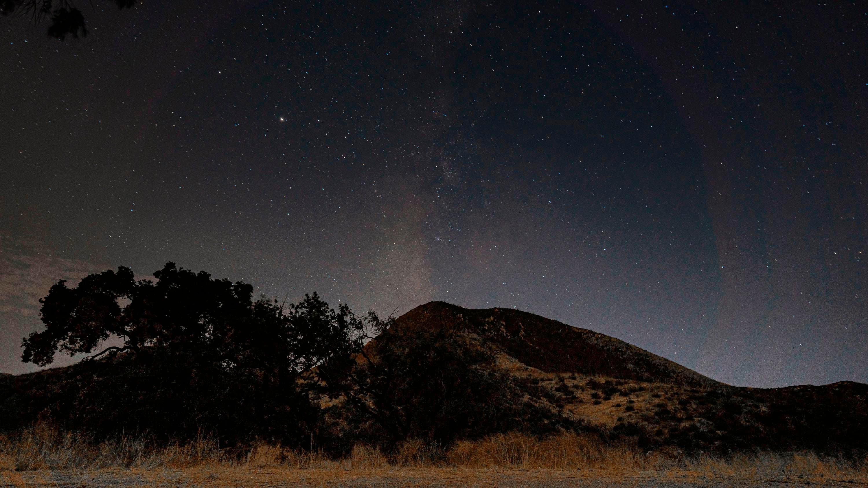
POIAccessed from Mulholland Highway, Arroyo Sequit features an intermittent stream, a loop trail, and meadows that are blanketed with wildflowers in the Spring. Arroyo Sequit is a small site that may be easy to overlook, but provides for intimate, relaxing strolls. It is also a favorite among evening stargazers, but contact the National Park Service to find out about accessing the site after hours.
Cheeseboro/Palo Comado Canyon
POIThe gently rounded hills and canyons of Cheeseboro and Palo Comado are older than the steeper, more recently formed Santa Monica Mountains and provide popular terrain for hikers, bikers, and equestrians.
Circle X Ranch
POITucked in the canyons above Malibu and nestled below majestic Boney Mountain, you will find Circle X Ranch. This former Boy Scout camp offers many opportunities for exploration and leisure.
Deer Creek Beach
POINestled in the Santa Monica Mountains, Deer Creek Beach covers 1,241 acres and boasts over two miles of pristine coastline. This newly-acquired federal land offers scenic views, diverse uplands, riparian areas, and coastal bluffs. As part of the Santa Monica Mountains National Recreation Area, it’s perfect for wildlife and nature lovers. Note: There are no amenities on-site, so plan for a rugged experience.
Franklin Canyon Park
POILocated between Beverly Hills and the San Fernando Valley, Franklin Canyon Park's 605 acres of land have something for everyone. Its three main trails - Discovery, Berman, and Hastain - are great for novice to intermediate hikers. This fantastic park for families with young children has a loop trail around the reservoir that is stroller friendly.
King Gillette Ranch
POIOne of the most stunning locales in the Santa Monica Mountains, 588-acre King Gillette Ranch is situated in the heart of the Malibu Creek Watershed, by the confluence of some major tributaries, and adjacent to Malibu Creek State Park.
Paramount Ranch
POIThe diversity of the landscape made the Santa Monica Mountains an ideal backdrop for the film industry. Paramount Ranch’s variety of scenic qualities, landscapes, plant communities, and natural fea-tures offered a myriad of scenery available to represent outdoor landscapes nearly anywhere in the world
Peter Strauss Ranch
POIFor nearly a century, people have enjoyed leisure and recreation at this site. Named for Emmy Award-winning actor Peter Strauss, this park delights nature lovers and intrigues history buffs. Oak woodlands, a seasonal creek, easy trails, a lawn area, and an amphitheater provide a wonderful location or visitors of all ages to have fun outdoors.
Rancho Sierra Vista/ Satwiwa
POITwo threads of local history intertwine to establish the identity of Rancho Sierra Vista/ Satwiwa. Ranch structures and introduced grasses represent over a century of ranching, while native plants reflect an environment that Chumash Indians lived in for thousands of years.
Rocky Oaks
POIHidden amid houses, roads, and other signs of modern life, Rocky Oaks features a seasonal human made pond and a variety of plant communities that provide habitat for wildlife. While taking a gentle hike along our loop trails, enjoy vistas of the pond.
Solstice Canyon
POISolstice Canyon features several options for easy, moderate, or strenuous hikes through coastal sage scrub and riparian plant communities. Visitors can enjoy a picnic, a shady stroll along the Solstice Canyon Trail, or a more challenging climb up the Rising Sun Trail. Our perennial waterfall is a popular hiking destination, and along the way you might encounter acorn woodpeckers, alligator lizards, fence lizards, or a red-tailed hawk soaring overhead.
Zuma and Trancas Canyons
POIZuma! It is derived from the Chumash word for “abundance.” Certainly, Zuma and neighboring Trancas Canyons satisfy this description. The perennial streams running through these canyons give rise to an abundance of animal and plant life. These same natural resources have influenced and given rise to a long and rich cultural history.
Things to do
Mishe Mokwa Trail to Split Rock
Traversing riparian, coastal sage scrub, and chaparral, this trail offers wonderful views of Carlisle Canyon and Balanced Rock. Split Rock’s oak grove offers a shaded spot for picnicking.
Duration: 1-3 Hours
Satwiwa Loop Trail
This area was set aside for the preservation and celebration of Native American cultures.
Duration: 1-2 Hours
Solstice Canyon Trail
Travel through a beautiful, shaded riparian environment on the Solstice Canyon Trail alongside a year-round creek.
Duration: 2-3 Hours
Visitor centers
Santa Monica Mountains Anthony C. Beilenson Interagency Visitor Center
The Anthony C. Beilenson Interagency Visitor Center features a bookstore managed by Western National Parks Association. You can purchase memorabilia, guidebooks, puppets and more. It also features interactive exhibits and has a small theater where a park film is shown.
Get directionsSatwiwa Native American Indian Culture Center
Located at the southern end of the community of Newbury Park, this site reflects the heritage of both Native Americans and local ranching. The Satwiwa Native American Indian Culture Center is open on weekends from 9am to 4pm. Native American workshops and programs occur throughout the year.
Get directions
Hours of operation
Park Sites
The park sites are open year-round. Our parking lots are open from 8 am to sunset.
Mon
All Day
Tue
All Day
Wed
All Day
Thu
All Day
Fri
All Day
Sat
All Day
Sun
All Day
Activities
Weather
Summers are hot and dry while winters are cool and wet.
Contact
Photos
Stay near this park
No horse-friendly stays listed near Santa Monica Mountains National Recreation Area yet. Know a great barn or property? Help fellow riders by listing it.
List your propertyDirections
There are multiple trailheads around the park, so there is not one main entrance. You can begin your visit at the visitor center, located off Mulholland Highway in Calabasas. The Santa Monica Mountains are traversed by the 405 Freeway on the east side; crowned by the 101 Freeway on the north and west side; and Highway 1, the Pacific Coast Highway (PCH), on the southern ocean border.
Source: nps.gov